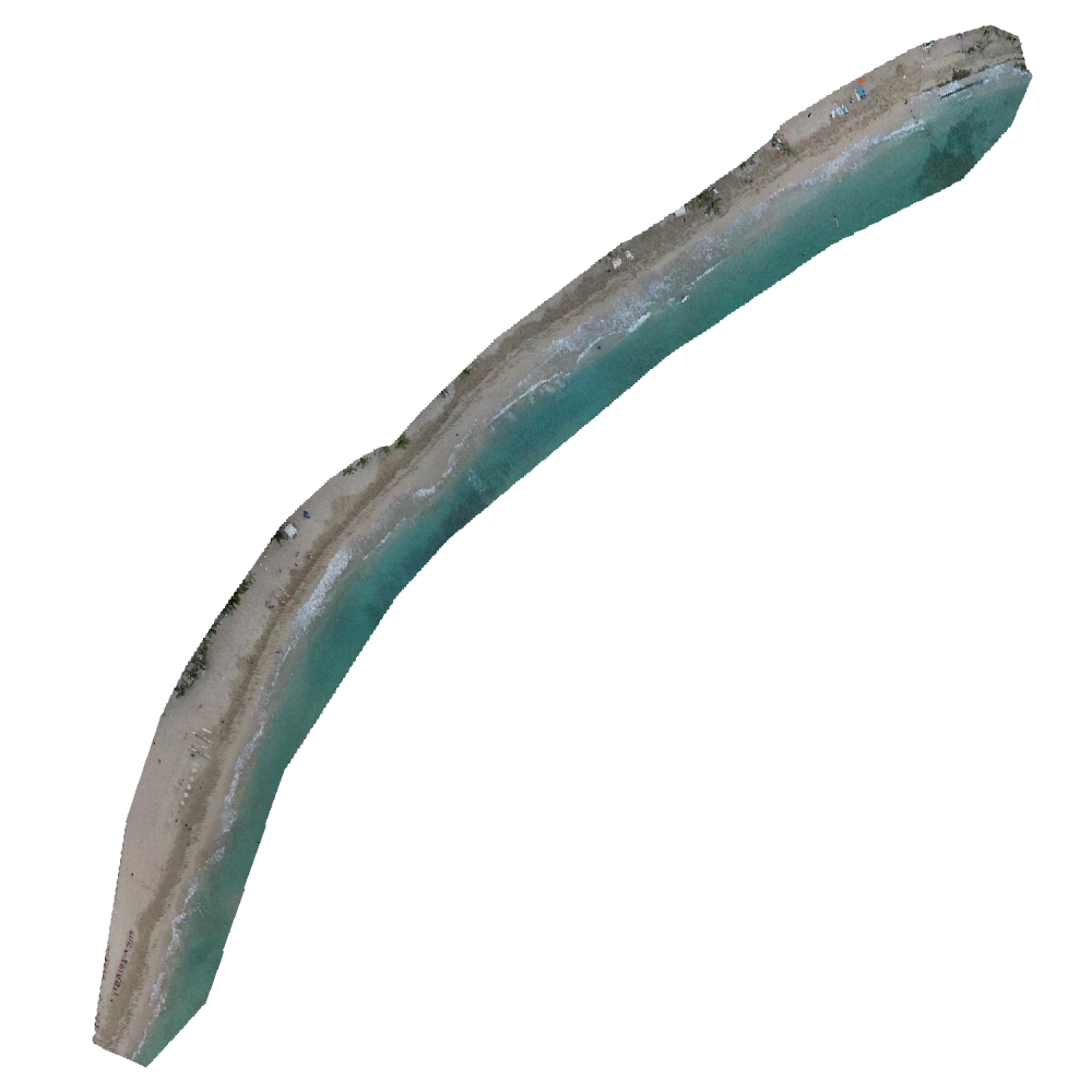
Waikīkī Beach
Notes on the Dataset
- The last 56 RGB images (from 20200225 on) seem to be corrupted and can't be openend in a way to get valid color values.
Detailed Information
| General Information | |
| Name | Waikīkī Beach |
| Release Year | 2024 |
| Terms of Use | CC0 |
| Access Requirements | None |
| Dataset Size | 31.1 GB | Partial download is possible, i.e. the data is split into several files (e.g., epochs or data types) |
| Documentation | In-depth documentation of acquisition and characteristics of the dataset, e.g., via an explicit dataset paper or a comprehensive multi-page metadata document |
| Code | No |
| Applications | Analysis of geomorphological processes |
| Detailed Applications | Shoreline monitoring (coastal morphodynamics) |
| Acquisition | |
| Number of Scenes | 1 |
| Number of Epochs per Scene (minimum) | 128 |
| Number of Epochs per Scene (median) | 128 |
| Number of Epochs per Scene (maximum) | 128 |
| General Scene Type | Landscape |
| Specific Scene Type | Beach |
| Location | Kahaloa Beach, Waikīkī (Hawai´i) |
| Acquisition Type | Photogrammetric from aerial images |
| Acquisition Device | UAV-embedded RGB + Agisoft Metashape |
| Acquisition Platform | DJI Phantom 4 Pro UAV |
| Scan Interval | Days to Weeks |
| Acquisition Months | Janurary: 9 February: 11 March: 9 April: 14 May: 15 June: 14 July: 15 August: 9 September: 11 October: 9 November: 9 December: 3 |
| Representation | |
| Data Representation | Structured, globally aligned (e.g., DSM, DTM, or DEM) |
| Specific Data Representation | Digital terrain model |
| File Format/Encoding | GeoTIFF |
| Raw Data | - |
| Additional Data | Shoreline vectors | computed area and volume | ArcGIS files |
| Coordinate System | 32604 |
| Quality and Usability | |
| Registration | Finely registered |
| Number of Partial Epochs | - |
| Unusable Data Reason | Errorneous |
| Splits | No |
| Per-Point Attributes | |
| Intensity/Reflectivity | No |
| Color | Yes | Color is not naturally included, but images are available that could be backprojected |
| Semantic Labels | - |
| Instance Labels | No |
| Change Labels | - |
| Statistics | |
| Number of Points per Epoch (minimum) | 83K |
| Number of Points per Epoch (median) | 85K |
| Number of Points per Epoch (maximum) | 88K |
| Avg. Point Spacing (minimum) | 5.0dm |
| Avg. Point Spacing (median) | 5.0dm |
| Avg. Point Spacing (maximum) | 5.0dm |
| Avg. Change Points per Epoch | - |
Paper Reference 1
@article{mikkelsen2024waikikidescription,
    title = {Three years of weekly DEMs, aerial orthomosaics and surveyed shoreline positions at Waikīkī Beach, Hawai‘i},
    doi = {10.1038/s41597-024-03160-z},
    author = {Mikkelsen, Anna and McDonald, Kristian and Kalksma, Julianne and Tyrrell, Zachary and Fletcher, Charles},
    year = {2024},
    journal = {Sci Data},
    volume = {11},
    pages = {324},
}
Dataset Reference 1
@misc{mikkelsen2024datasetwaikiki,
    title = {Three years of weekly DEMs, aerial orthomosaics and surveyed shoreline positions at Waikīkī Beach, Hawai‘i},
    doi = {10.6084/m9.figshare.c.6911899.v1},
    author = {Mikkelsen, Anna and McDonald, Kristian and Fletcher, Charles and Tyrrel, Zachery},
    year = {2024},
}