Trail Valley Creek
Notes on the Dataset
- When clicking the download link from PANGAEA, the web browser may attempt to open the large text files of several GB. A better way is to download the files directly using a tool like curl. However, PANGAEA stores some files on tape, so the system needs time to retrieve them. This requires first an initial download request that will fail. After waiting approximately one minute for the files to be fetched, the actual download request can be sent.
Detailed Information
| General Information | |
| Name | Trail Valley Creek |
| Release Year | 2018 |
| Terms of Use | CC BY 3.0 |
| Access Requirements | None |
| Dataset Size | 81.5 GB | Partial download is possible, i.e. the data is split into several files (e.g., epochs or data types) |
| Documentation | In-depth documentation of acquisition and characteristics of the dataset, e.g., via an explicit dataset paper or a comprehensive multi-page metadata document |
| Code | Yes |
| Applications | Analysis of geomorphological processes |
| Detailed Applications | Quantification of thaw subsidence |
| Acquisition | |
| Number of Scenes | 2 |
| Number of Epochs per Scene (minimum) | 3 |
| Number of Epochs per Scene (median) | 3 |
| Number of Epochs per Scene (maximum) | 3 |
| General Scene Type | Natural |
| Specific Scene Type | Tundra plot |
| Location | Trail Valley Creek Research Station (Canada) |
| Acquisition Type | Terrestrial laser scanning |
| Acquisition Device | RIEGL VZ-400 |
| Acquisition Platform | Tripod | Educated guess by the authors |
| Scan Interval | Months |
| Acquisition Months | Janurary: 0 February: 0 March: 0 April: 0 May: 0 June: 2 July: 0 August: 4 September: 0 October: 0 November: 0 December: 0 |
| Representation | |
| Data Representation | Unstructured, globally aligned (e.g., point cloud or ray cloud) |
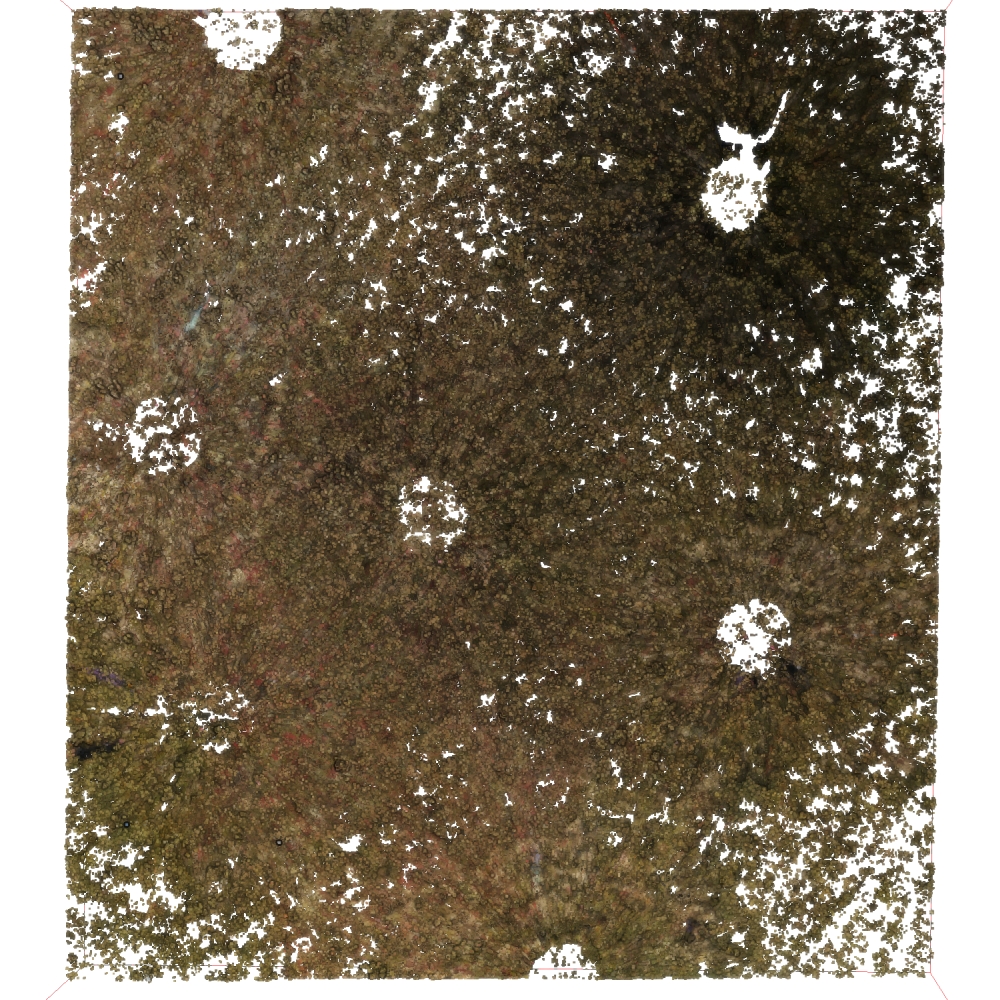
| Specific Data Representation | Point cloud |
| File Format/Encoding | Textfile, usually delimiter separated values |
| Raw Data | - |
| Additional Data | GPS | subsidence measurements |
| Coordinate System | 32608 |
| Quality and Usability | |
| Registration | Between finely and coarsely registered. The reviewers disagreed on this |
| Number of Partial Epochs | - |
| Unusable Data Reason | - |
| Splits | No |
| Per-Point Attributes | |
| Intensity/Reflectivity | No |
| Color | Yes |
| Semantic Labels | - |
| Instance Labels | No |
| Change Labels | - |
| Statistics | |
| Number of Points per Epoch (minimum) | 163M |
| Number of Points per Epoch (median) | 238M |
| Number of Points per Epoch (maximum) | 275M |
| Avg. Point Spacing (minimum) | 2.4mm |
| Avg. Point Spacing (median) | 2.7mm |
| Avg. Point Spacing (maximum) | 3.0mm |
| Avg. Change Points per Epoch | - |
Paper Reference 1
@article{anders2020permafrostmonitoring,
    author = {Anders, Katharina and Marx, Sabrina and Boike, Julia and Herfort, Benjamin and Wilcox, Evan James and Langer, Moritz and Marsh, Philip and Höfle, Bernhard},
    title = {Multitemporal terrestrial laser scanning point clouds for thaw subsidence observation at Arctic permafrost monitoring sites},
    journal = {Earth Surface Processes and Landforms},
    volume = {45},
    number = {7},
    pages = {1589--1600},
    doi = {10.1002/esp.4833},
    year = {2020},
}
Dataset Reference 1
@misc{anders2018datasettrailvalleycreek,
    author = {Katharina Anders and Sofia Antonova and Inga Beck and Julia Boike and Bernhard H\"ofle and Moritz Langer and Philip Marsh and Sabrina Marx},
    title = {Multisensor ground-based measurements of the permafrost thaw subsidence in the Trail Valley Creek, NWT, Canada, 2015-2016},
    year = {2018},
    doi = {10.1594/PANGAEA.888566},
    organization = {Alfred Wegener Institute, Helmholtz Centre for Polar and Marine Research, Bremerhaven},
    type = {dataset},
    publisher = {PANGAEA},
}