Schneeferner
Notes on the Dataset
- The scene was scanned from two different locations, because the scanner was moved to a more protected place during night (leading to scans of less spatial coverage for these cases).
- Some scans contain artifacts (noise points), especially near the scanner position.
Detailed Information
| General Information | |
| Name | Schneeferner |
| Release Year | 2023 |
| Terms of Use | CC BY 4.0 |
| Access Requirements | None |
| Dataset Size | 18.94 GB | Partial download is possible, i.e. the data is split into several files (e.g., epochs or data types) |
| Documentation | In-depth documentation of acquisition and characteristics of the dataset, e.g., via an explicit dataset paper or a comprehensive multi-page metadata document |
| Code | No |
| Applications | Analysis of geomorphological processes |
| Detailed Applications | Extraction of change volumes |
| Acquisition | |
| Number of Scenes | 1 |
| Number of Epochs per Scene (minimum) | 129 |
| Number of Epochs per Scene (median) | 129 |
| Number of Epochs per Scene (maximum) | 129 |
| General Scene Type | Landscape |
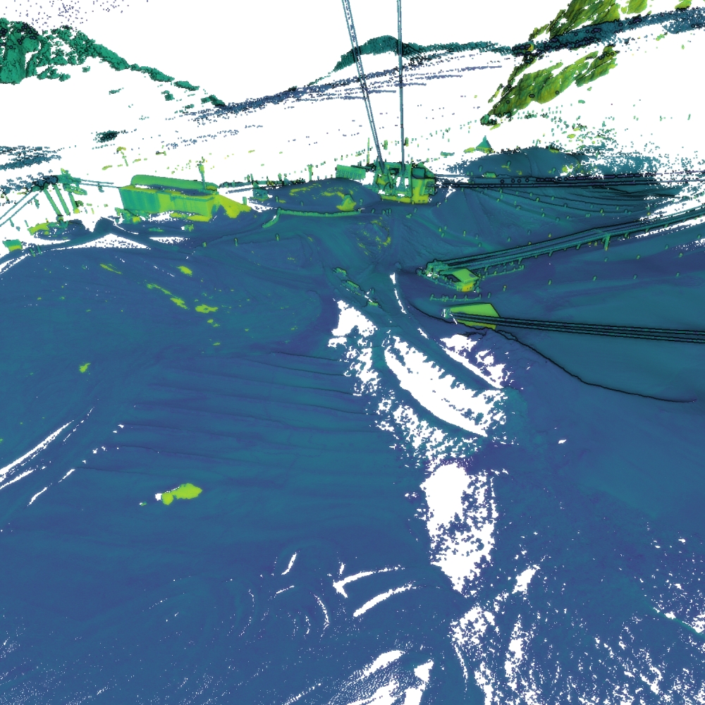
| Specific Scene Type | Skiing slope |
| Location | Schneeferner Glacier (Germany) |
| Acquisition Type | Terrestrial laser scanning |
| Acquisition Device | RIEGL VZ-2000i |
| Acquisition Platform | Tripod |
| Scan Interval | Hours |
| Acquisition Months | Janurary: 0 February: 0 March: 0 April: 129 May: 0 June: 0 July: 0 August: 0 September: 0 October: 0 November: 0 December: 0 |
| Representation | |
| Data Representation | Unstructured, globally aligned (e.g., point cloud or ray cloud) |
| Specific Data Representation | Point cloud |
| File Format/Encoding | LAZ |
| Raw Data | - |
| Additional Data | Alignment results from ICP |
| Coordinate System | 32632 | A local coordinate system is used, but a transformation matrix to a georefenced system is available |
| Quality and Usability | |
| Registration | Finely registered |
| Number of Partial Epochs | 2.30% |
| Unusable Data Reason | - |
| Splits | No |
| Per-Point Attributes | |
| Intensity/Reflectivity | Yes |
| Color | No |
| Semantic Labels | - |
| Instance Labels | No |
| Change Labels | - |
| Statistics | |
| Number of Points per Epoch (minimum) | 4M |
| Number of Points per Epoch (median) | 12M |
| Number of Points per Epoch (maximum) | 54M |
| Avg. Point Spacing (minimum) | 2.2cm |
| Avg. Point Spacing (median) | 5.8mm |
| Avg. Point Spacing (maximum) | 1.0dm |
| Avg. Change Points per Epoch | - |
Paper Reference 1
@article{anders2022timeserieschangeanalysis,
    author = {Anders, Katharina and Winiwarter, Lukas and Höfle, Bernhard},
    journal = {IEEE Geoscience and Remote Sensing Letters},
    title = {Improving Change Analysis From Near-Continuous 3D Time Series by Considering Full Temporal Information},
    year = {2022},
    volume = {19},
    pages = {1-5},
    keywords = {Time series analysis;Three-dimensional displays;Snow;Point cloud compression;Surface treatment;Spatiotemporal phenomena;Monitoring;3D time series;4D objects-by-change (4D-OBCs);snow cover monitoring;terrestrial laser scanning (TLS)},
    doi = {10.1109/LGRS.2022.3148920},
}
Dataset Reference 1
@misc{anders2023datasetschneeferner,
    author = {Katharina Anders and Stefan Eberlein and Bernhard H\"ofle},
    title = {Hourly Terrestrial Laser Scanning Point Clouds of Snow Cover in the Area of the Schneeferner, Zugspitze, Germany},
    year = {2023},
    doi = {10.1594/PANGAEA.941550},
    type = {dataset},
    publisher = {PANGAEA},
}