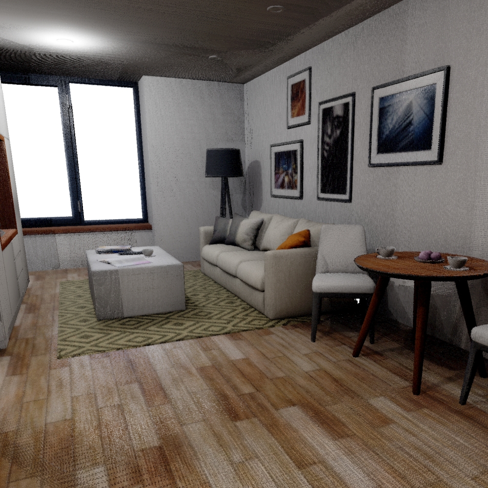
Schmid et al.

Notes on the Dataset
- The labels have to be mapped during backprojection by mapping the instance ID to the corresponding class/change.
- For points outside of windows, the depth images contain pixels with very high depth values that can interfere with the reconstruction.
- The dataset also provides additional semantic/instance annotations in image format for two of the 3RScan scenes.
Detailed Information
| General Information | |
| Name | Schmid et al. |
| Release Year | 2022 |
| Terms of Use | Unclear |
| Access Requirements | None |
| Dataset Size | 392.7 MB |
| Documentation | Between medium-length (multi-paragraph) and short (multi-line) description. The reviewers disagreed on this |
| Code | Yes |
| Applications | Long-term localization and mapping |
| Detailed Applications | Long-term mapping |
| Acquisition | |
| Number of Scenes | 1 |
| Number of Epochs per Scene (minimum) | 2 |
| Number of Epochs per Scene (median) | 2 |
| Number of Epochs per Scene (maximum) | 2 |
| General Scene Type | Indoor |
| Specific Scene Type | Flat |
| Location | Unclear |
| Acquisition Type | Depth camera mounted on vehicle | Synthetic scan |
| Acquisition Device | Simulation |
| Acquisition Platform | Simulation |
| Scan Interval | Undefined |
| Acquisition Months | |
| Representation | |
| Data Representation | Structured, local (e.g., RGBD or range images with poses (and intrinsics) |
| Specific Data Representation | Color and depth images |
| File Format/Encoding | PNG | TIFF |
| Raw Data | - |
| Additional Data | Structural GT point clouds | simulation parameters |
| Coordinate System | m |
| Quality and Usability | |
| Registration | Finely registered |
| Number of Partial Epochs | - |
| Unusable Data Reason | - |
| Splits | No |
| Per-Point Attributes | |
| Intensity/Reflectivity | No |
| Color | Yes |
| Semantic Labels | 31 | The labels can be computed from other data/mapped to the point cloud, i.e., it can not trivially be done during point cloud construction |
| Instance Labels | Yes |
| Change Labels | 4 | The labels can be computed from other data/mapped to the point cloud, i.e., it can not trivially be done during point cloud construction (at least not for all epochs) |
| Statistics | |
| Number of Points per Epoch (minimum) | 108M |
| Number of Points per Epoch (median) | - |
| Number of Points per Epoch (maximum) | 121M |
| Avg. Point Spacing (minimum) | 876µm |
| Avg. Point Spacing (median) | - |
| Avg. Point Spacing (maximum) | 890µm |
| Avg. Change Points per Epoch | 12.83% |
Paper Reference 1
@inproceedings{schmid2022datasetpanoptictsdf,
    author = {Schmid, Lukas and Delmerico, Jeffrey and Schönberger, Johannes L. and Nieto, Juan and Pollefeys, Marc and Siegwart, Roland and Cadena, Cesar},
    booktitle = {International Conference on Robotics and Automation (ICRA)},
    title = {Panoptic Multi-TSDFs: a Flexible Representation for Online Multi-resolution Volumetric Mapping and Long-term Dynamic Scene Consistency},
    year = {2022},
    pages = {8018-8024},
    doi = {10.1109/ICRA46639.2022.9811877},
}