SMARS
Notes on the Dataset
- Even though the metadata of the files specifies WGS 84/UTM zone 31 as spatial reference system, the images are actually not georeferenced.
- It says on the website that "the python code used to split the data for our experiments are also provided and users can customize the codes to their needs (we will publish the code soon)." However, this did not seem to have happened.
- The TIF files for SParis/50cm appear to have the content of their channels not specified correctly in the metadata. Some viewers (GIMP, Windows viewer) are not able to open them correctly. Re-saving (e.g., with IrfanView) fixes the issue. Additionally, these images have a different resolution compared to the other images, which is however expected and documented in the paper.
- The change map files for SParis/30cm have an additional "_gt" suffix in their name, which the other change maps do not have. This has to be taken care of when parsing the dataset automatically.
- The buildings that were removed in the second epoch are still there, just with a corresponding label.
Detailed Information
| General Information | |
| Name | SMARS |
| Release Year | 2023 |
| Terms of Use | Unclear (Citation) |
| Access Requirements | None |
| Dataset Size | 2.5 GB |
| Documentation | In-depth documentation of acquisition and characteristics of the dataset, e.g., via an explicit dataset paper or a comprehensive multi-page metadata document |
| Code | No |
| Applications | Built environment change detection and classification |
| Detailed Applications | Urban change detection |
| Acquisition | |
| Number of Scenes | 2 |
| Number of Epochs per Scene (minimum) | 2 |
| Number of Epochs per Scene (median) | 2 |
| Number of Epochs per Scene (maximum) | 2 |
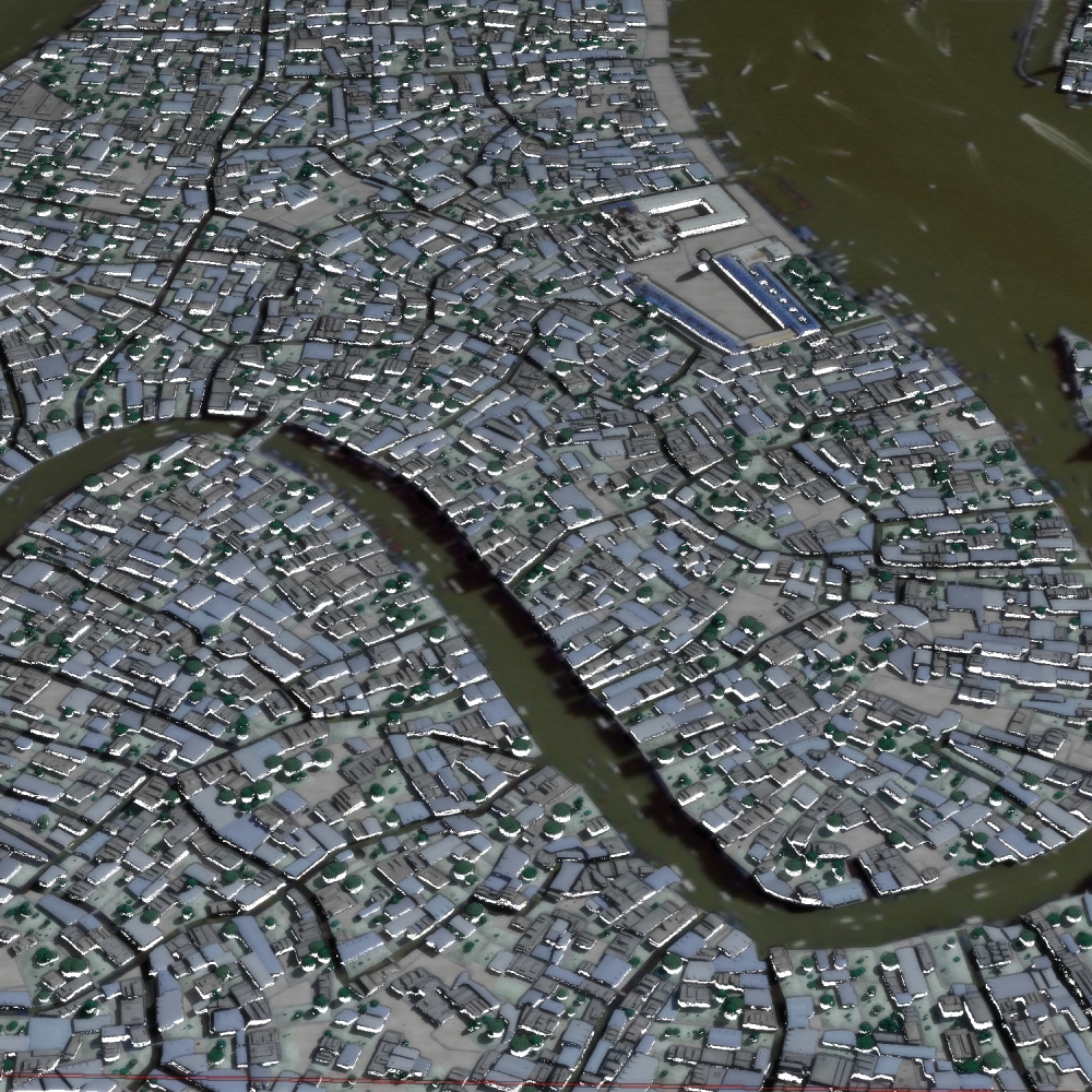
| General Scene Type | Urban |
| Specific Scene Type | City tile |
| Location | Paris (France)/Venice (Italy) |
| Acquisition Type | Photogrammetric from aerial images | Synthetic scan |
| Acquisition Device | Simulated stereo camera + photogrammetry |
| Acquisition Platform | Simulated (aircraft) |
| Scan Interval | Undefined |
| Acquisition Months | |
| Representation | |
| Data Representation | Structured, globally aligned (e.g., DSM, DTM, or DEM) |
| Specific Data Representation | Digital surface model |
| File Format/Encoding | GeoTIFF |
| Raw Data | - |
| Additional Data | - |
| Coordinate System | m |
| Quality and Usability | |
| Registration | Finely registered |
| Number of Partial Epochs | - |
| Unusable Data Reason | - |
| Splits | Yes |
| Per-Point Attributes | |
| Intensity/Reflectivity | No |
| Color | Yes |
| Semantic Labels | 5 |
| Instance Labels | No |
| Change Labels | 3 |
| Statistics | |
| Number of Points per Epoch (minimum) | 31M |
| Number of Points per Epoch (median) | 31M |
| Number of Points per Epoch (maximum) | 31M |
| Avg. Point Spacing (minimum) | 3.2dm |
| Avg. Point Spacing (median) | 3.2dm |
| Avg. Point Spacing (maximum) | 3.2dm |
| Avg. Change Points per Epoch | 18.24% |
Paper Reference 1
@article{reyes2023datasetsmars,
    title = {A 2D/3D multimodal data simulation approach with applications on urban semantic segmentation, building extraction and change detection},
    journal = {ISPRS Journal of Photogrammetry and Remote Sensing},
    volume = {205},
    pages = {74--97},
    year = {2023},
    issn = {0924-2716},
    doi = {10.1016/j.isprsjprs.2023.09.013},
    author = {Mario Fuentes Reyes and Yuxing Xie and Xiangtian Yuan and Pablo d’Angelo and Franz Kurz and Daniele Cerra and Jiaojiao Tian},
}