Riparian Vegetation
Detailed Information
| General Information | |
| Name | Riparian Vegetation |
| Release Year | 2022 |
| Terms of Use | CC BY 4.0 |
| Access Requirements | None |
| Dataset Size | 114.4 MB | Partial download is possible, i.e. the data is split into several files (e.g., epochs or data types) |
| Documentation | Multi-paragraph description of the dataset, e.g., in the form of a paper section or a comprehensive readme file |
| Code | No |
| Applications | Vegetation mapping and monitoring |
| Detailed Applications | Vegetation species mapping based on multi-temporal phenology |
| Acquisition | |
| Number of Scenes | 1 |
| Number of Epochs per Scene (minimum) | 3 |
| Number of Epochs per Scene (median) | 3 |
| Number of Epochs per Scene (maximum) | 3 |
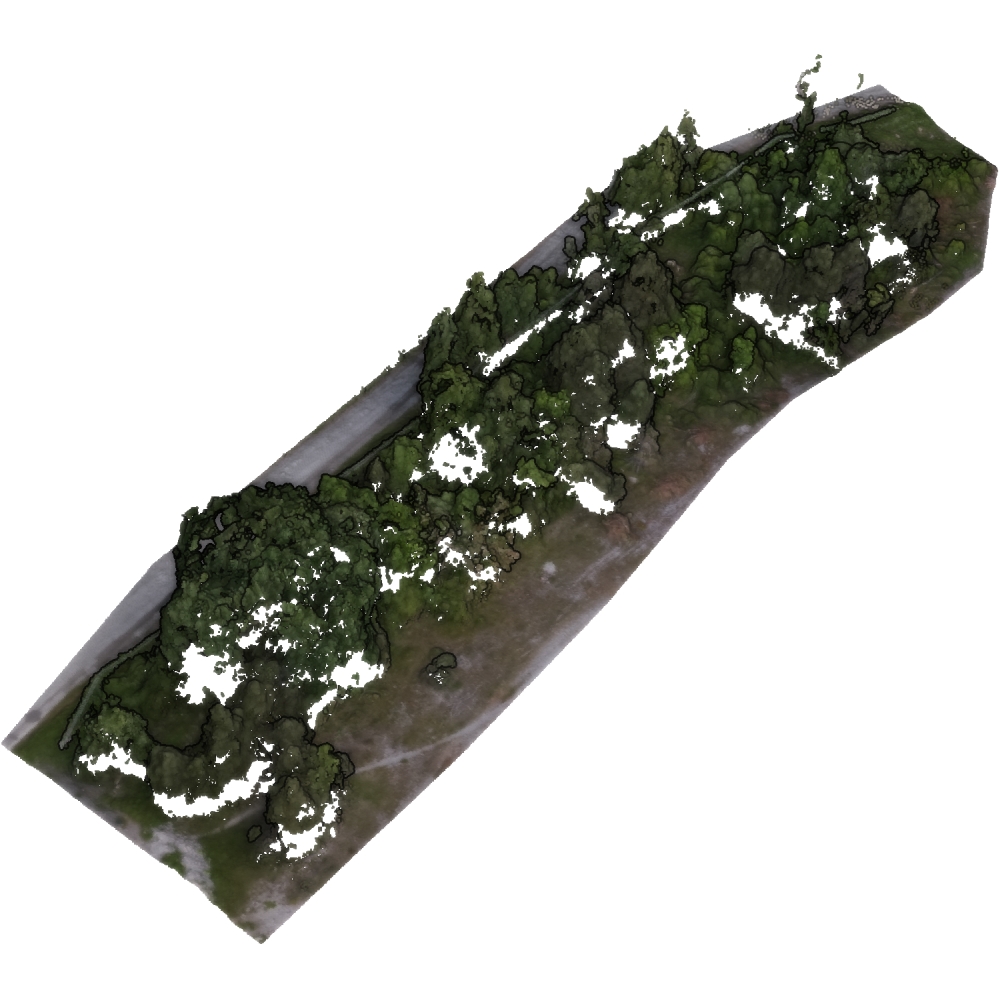
| General Scene Type | Vegetation |
| Specific Scene Type | Riparian vegetation |
| Location | Salbertrand (Italy) |
| Acquisition Type | Photogrammetric from aerial images |
| Acquisition Device | UAV-embedded RGB and multi-spectral sensors + Agisoft Metashape |
| Acquisition Platform | DJI Phantom 4 pro UAV and DJI Phantom 4 multi-spectral UAV |
| Scan Interval | Months |
| Acquisition Months | Janurary: 0 February: 0 March: 1 April: 0 May: 0 June: 1 July: 1 August: 0 September: 0 October: 0 November: 0 December: 0 |
| Representation | |
| Data Representation | Unstructured, globally aligned (e.g., point cloud or ray cloud) |
| Specific Data Representation | Point cloud |
| File Format/Encoding | LAS |
| Raw Data | - |
| Additional Data | NIR images for two epochs |
| Coordinate System | 32632 |
| Quality and Usability | |
| Registration | Finely registered |
| Number of Partial Epochs | - |
| Unusable Data Reason | - |
| Splits | No |
| Per-Point Attributes | |
| Intensity/Reflectivity | No |
| Color | Yes |
| Semantic Labels | - |
| Instance Labels | No |
| Change Labels | - |
| Statistics | |
| Number of Points per Epoch (minimum) | 1M |
| Number of Points per Epoch (median) | 1M |
| Number of Points per Epoch (maximum) | 1M |
| Avg. Point Spacing (minimum) | 4.4cm |
| Avg. Point Spacing (median) | 4.4cm |
| Avg. Point Spacing (maximum) | 4.8cm |
| Avg. Change Points per Epoch | - |
Paper Reference 1
@article{belcore2021riparianhabitatmapping,
    author = {Belcore, Elena and Pittarello, Marco and Lingua, Andrea Maria and Lonati, Michele},
    title = {Mapping Riparian Habitats of Natura 2000 Network (91E0*, 3240) at Individual Tree Level Using UAV Multi-Temporal and Multi-Spectral Data},
    journal = {Remote Sensing},
    volume = {13},
    year = {2021},
    number = {9},
    article-number = {1756},
    issn = {2072-4292},
    doi = {10.3390/rs13091756},
}
Dataset Reference 1
@dataset{belcore2022datasetriparianvegetation,
    author = {Belcore, Elena and
                  Latella, Melissa},
    title = {Multi-temporal Structure from Motion ponit [sic!] clouds
                   of riparian vegetation},
    month = {jun},
    year = {2022},
    publisher = {Zenodo},
    doi = {10.5281/zenodo.5930401},
}