QALIDAR
Notes on the Dataset
- The first epoch exhibits semantic labels for 4 different classes, the second epoch for 19 different classes.
- Both epochs are named exactly the same, only the file extension differs. The first epoch is stored as LAS file and the second one as LAZ file.
Detailed Information
| General Information | |
| Name | QALIDAR |
| Release Year | 2024 |
| Terms of Use | Open government data |
| Access Requirements | None |
| Dataset Size | 254.3 MB | Partial download is possible, i.e. the data is split into several files (e.g., epochs or data types) |
| Documentation | Multi-paragraph description of the dataset, e.g., in the form of a paper section or a comprehensive readme file |
| Code | Yes |
| Applications | Built environment change detection and classification |
| Detailed Applications | Point cloud label change detection/quality control |
| Acquisition | |
| Number of Scenes | 1 |
| Number of Epochs per Scene (minimum) | 2 |
| Number of Epochs per Scene (median) | 2 |
| Number of Epochs per Scene (maximum) | 2 |
| General Scene Type | Urban |
| Specific Scene Type | City tile |
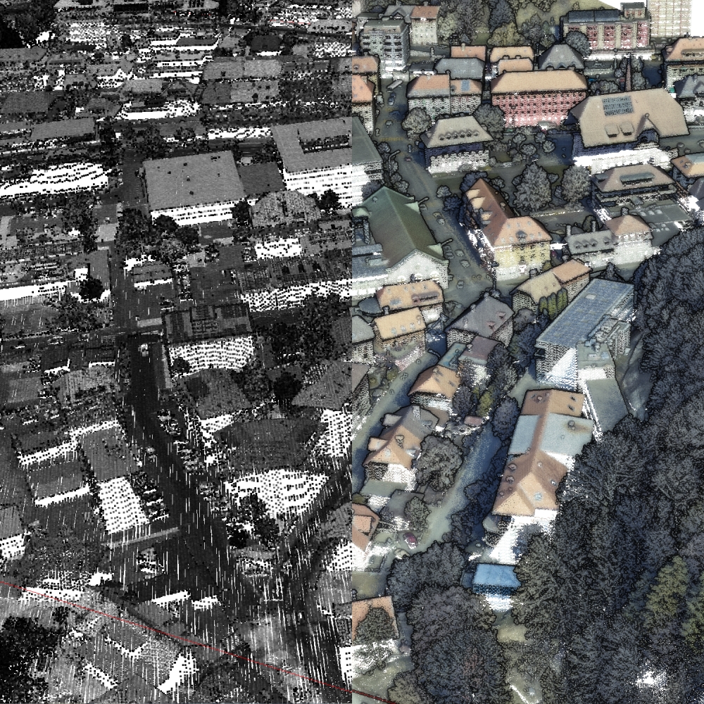
| Location | Le Locle (Swiss) |
| Acquisition Type | Airborne laser scanning |
| Acquisition Device | Unspecified aerial LiDAR |
| Acquisition Platform | Aircraft (plane) |
| Scan Interval | Years |
| Acquisition Months | |
| Representation | |
| Data Representation | Unstructured, globally aligned (e.g., point cloud or ray cloud) |
| Specific Data Representation | Point cloud |
| File Format/Encoding | LAS | LAZ |
| Raw Data | - |
| Additional Data | - |
| Coordinate System | 2056 |
| Quality and Usability | |
| Registration | Finely registered |
| Number of Partial Epochs | - |
| Unusable Data Reason | - |
| Splits | No |
| Per-Point Attributes | |
| Intensity/Reflectivity | Yes |
| Color | Yes | Only some of the scans are colored |
| Semantic Labels | 19 |
| Instance Labels | No |
| Change Labels | - |
| Statistics | |
| Number of Points per Epoch (minimum) | 2M |
| Number of Points per Epoch (median) | - |
| Number of Points per Epoch (maximum) | 27M |
| Avg. Point Spacing (minimum) | 7.9cm |
| Avg. Point Spacing (median) | - |
| Avg. Point Spacing (maximum) | 2.9dm |
| Avg. Change Points per Epoch | - |
Paper Reference 1
@techreport{munger2024datasetqalidar,
    author = {Nicolas Münger and
             Gwenaëlle Salamin and
             Alessandro Cerioni and
             Roxane Pott},
    title = {Cross-generational change detection in classified LiDAR point clouds for a semi-automated quality control},
    institution = {Federal Office of Topography swisstopo},
    year = {2024},
}