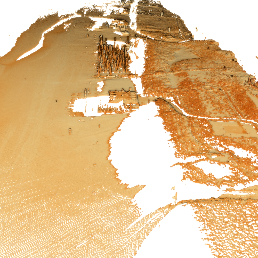
Noordwijk
Notes on the Dataset
- Some scans only contain very few point, sometimes due to weather impairment, at other times due to the tide. There are 4 scans with 10, 1, 1, and 0 points respectively.
Detailed Information
| General Information | |
| Name | Noordwijk |
| Release Year | 2023 |
| Terms of Use | CC BY-NC 4.0 |
| Access Requirements | None |
| Dataset Size | 597.9 GB |
| Documentation | In-depth documentation of acquisition and characteristics of the dataset, e.g., via an explicit dataset paper or a comprehensive multi-page metadata document |
| Code | Yes |
| Applications | Analysis of geomorphological processes |
| Detailed Applications | Analysing morphological behaviours of beach-dune systems |
| Acquisition | |
| Number of Scenes | 1 |
| Number of Epochs per Scene (minimum) | 21812 |
| Number of Epochs per Scene (median) | 21812 |
| Number of Epochs per Scene (maximum) | 21812 |
| General Scene Type | Landscape |
| Specific Scene Type | Beach |
| Location | Noordwijk (The Netherlands) |
| Acquisition Type | Terrestrial laser scanning |
| Acquisition Device | RIEGL VZ-2000 |
| Acquisition Platform | Tripod fixed to wall |
| Scan Interval | Minutes |
| Acquisition Months | Janurary: 1817 February: 1850 March: 2015 April: 1929 May: 1914 June: 1688 July: 1048 August: 1949 September: 1824 October: 1820 November: 1964 December: 1883 |
| Representation | |
| Data Representation | Unstructured, globally aligned (e.g., point cloud or ray cloud) |
| Specific Data Representation | Point cloud |
| File Format/Encoding | LAZ |
| Raw Data | - |
| Additional Data | - |
| Coordinate System | 7415 | A local coordinate system is used, but a transformation matrix to a georefenced system is available |
| Quality and Usability | |
| Registration | Finely registered |
| Number of Partial Epochs | - |
| Unusable Data Reason | Small (less than ten points) |
| Splits | No |
| Per-Point Attributes | |
| Intensity/Reflectivity | Yes |
| Color | No |
| Semantic Labels | - |
| Instance Labels | No |
| Change Labels | - |
| Statistics | |
| Number of Points per Epoch (minimum) | 10 |
| Number of Points per Epoch (median) | 4M |
| Number of Points per Epoch (maximum) | 36M |
| Avg. Point Spacing (minimum) | 2.7cm |
| Avg. Point Spacing (median) | 8.9cm |
| Avg. Point Spacing (maximum) | 11.1m |
| Avg. Change Points per Epoch | - |
Paper Reference 1
@article{dibiase2021soilmoisture,
    author = {Di Biase, Valeria and Hanssen, Ramon F. and Vos, Sander E.},
    title = {Sensitivity of Near-Infrared Permanent Laser Scanning Intensity for Retrieving Soil Moisture on a Coastal Beach: Calibration Procedure Using In Situ Data},
    journal = {Remote Sensing},
    volume = {13},
    year = {2021},
    number = {9},
    article-number = {1645},
    issn = {2072-4292},
    doi = {10.3390/rs13091645},
}
Dataset Reference 1
@misc{vos2023datasetnoordwijk,
    doi = {10.4121/1aac46fb-7900-4d4c-a099-d2ce354811d2.v2},
    author = {Vos, Sander and Kuschnerus, Mieke and Lindenbergh, Roderik and de Vries, Sierd},
    keywords = {Permanent Laser Scanning, Change Detection, Geomorphological Changes, Coastal Engineering, Terrestrial Laser Scanning, Point Cloud},
    title = {4D spatio-temporal laser scan dataset of the beach-dune system in Noordwijk, NL},
    publisher = {4TU.ResearchData},
    year = {2023},
}