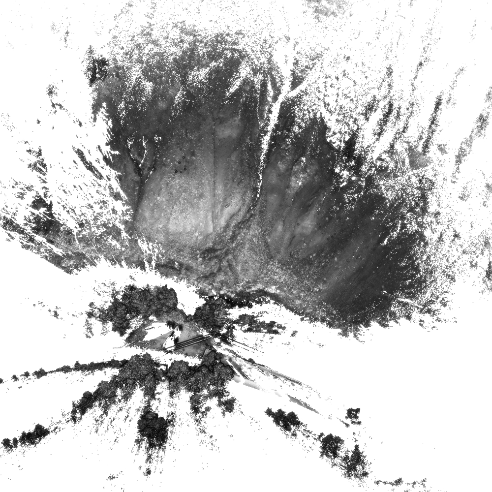
Nesslrinna
Notes on the Dataset
- The 2019 epoch is only available in a proprietary format from RIEGL. We excluded it from our computations.
Detailed Information
| General Information | |
| Name | Nesslrinna |
| Release Year | 2019 |
| Terms of Use | CC BY 4.0 |
| Access Requirements | None |
| Dataset Size | 882.69 MB | Partial download is possible, i.e. the data is split into several files (e.g., epochs or data types) |
| Documentation | Multi-paragraph description of the dataset, e.g., in the form of a paper section or a comprehensive readme file |
| Code | No |
| Applications | Analysis of geomorphological processes |
| Detailed Applications | Detecting topographical changes caused by a landslide |
| Acquisition | |
| Number of Scenes | 1 |
| Number of Epochs per Scene (minimum) | 2 |
| Number of Epochs per Scene (median) | 2 |
| Number of Epochs per Scene (maximum) | 2 |
| General Scene Type | Landscape |
| Specific Scene Type | Landslide |
| Location | Nesslrinna Landslide (Austria) |
| Acquisition Type | Terrestrial laser scanning |
| Acquisition Device | Leica ScanStation C10 and Zoller & Fröhlich IMAGER 5016 and RIEGL VZ-6000 |
| Acquisition Platform | Tripod |
| Scan Interval | Years |
| Acquisition Months | Janurary: 0 February: 0 March: 0 April: 0 May: 0 June: 0 July: 2 August: 0 September: 0 October: 0 November: 0 December: 0 |
| Representation | |
| Data Representation | Unstructured, globally aligned (e.g., point cloud or ray cloud) |
| Specific Data Representation | Point cloud |
| File Format/Encoding | Textfile, usually delimiter separated values |
| Raw Data | - |
| Additional Data | - |
| Coordinate System | 32632 |
| Quality and Usability | |
| Registration | Finely registered |
| Number of Partial Epochs | 100.00% |
| Unusable Data Reason | Other (e.g., no poses for alignment available or in proprietary format) |
| Splits | No |
| Per-Point Attributes | |
| Intensity/Reflectivity | Yes |
| Color | No |
| Semantic Labels | - |
| Instance Labels | No |
| Change Labels | - |
| Statistics | |
| Number of Points per Epoch (minimum) | 5M |
| Number of Points per Epoch (median) | - |
| Number of Points per Epoch (maximum) | 11M |
| Avg. Point Spacing (minimum) | 2.7cm |
| Avg. Point Spacing (median) | - |
| Avg. Point Spacing (maximum) | 3.5cm |
| Avg. Change Points per Epoch | - |
Paper Reference 1
@article{gutierrez2020landslidechanges,
    author = {Gutierrez, I. and Før Gjermundsen, E. and Harcourt, W. D. and Kuschnerus, M. and Tonion, F. and Zieher, T.},
    title = {ANALYSIS OF FILTERING TECHNIQUES FOR INVESTIGATING LANDSLIDE-INDUCED TOPOGRAPHIC CHANGES IN THE OETZ VALLEY (TYROL, AUSTRIA)},
    journal = {ISPRS Annals of the Photogrammetry, Remote Sensing and Spatial Information Sciences},
    volume = {V-2-2020},
    year = {2020},
    pages = {719--726},
    doi = {10.5194/isprs-annals-V-2-2020-719-2020},
}
Dataset Reference 1
@misc{pfeiffer2019datasetnesslrinna,
    author = {Jan Pfeiffer and Daniel Wujanz and Thomas Zieher and Martin Rutzinger and Marco Scaioni and Bernhard H\"ofle and Roderik Lindenbergh and Sander Oude Elberink and Francesco Pirotti and Magnus Bremer and Martin H\"ammerle},
    title = {Terrestrial laser scanning data of the Nesslrinna landslide close to Obergurgl, Austria acquired during the Innsbruck Summer School of Alpine Research},
    year = {2019},
    doi = {10.1594/PANGAEA.901293},
    organization = {Institute of Geography, University of Innsbruck},
    type = {dataset},
    publisher = {PANGAEA},
}