NTU VIRAL
Notes on the Dataset
- The NTU Data Repository, where the data is hosted, states as license `CC BY-NC 4.0`, while the dataset's webpage states `CC BY-NC-SA 4.0`.
- While the ground truth contains only positions, the authors provide SLAM results for the full pose. Care has to be taken if the ground truth positions should be combined with the estimated orientations or the IMU data, as the coordinate systems differ and the temporal alignment has also to be taken care of.
- The zip archive for epoch nya_01 contains again a zip archive with the same name, which can lead to problems when trying to extract the archive into the the same directory.
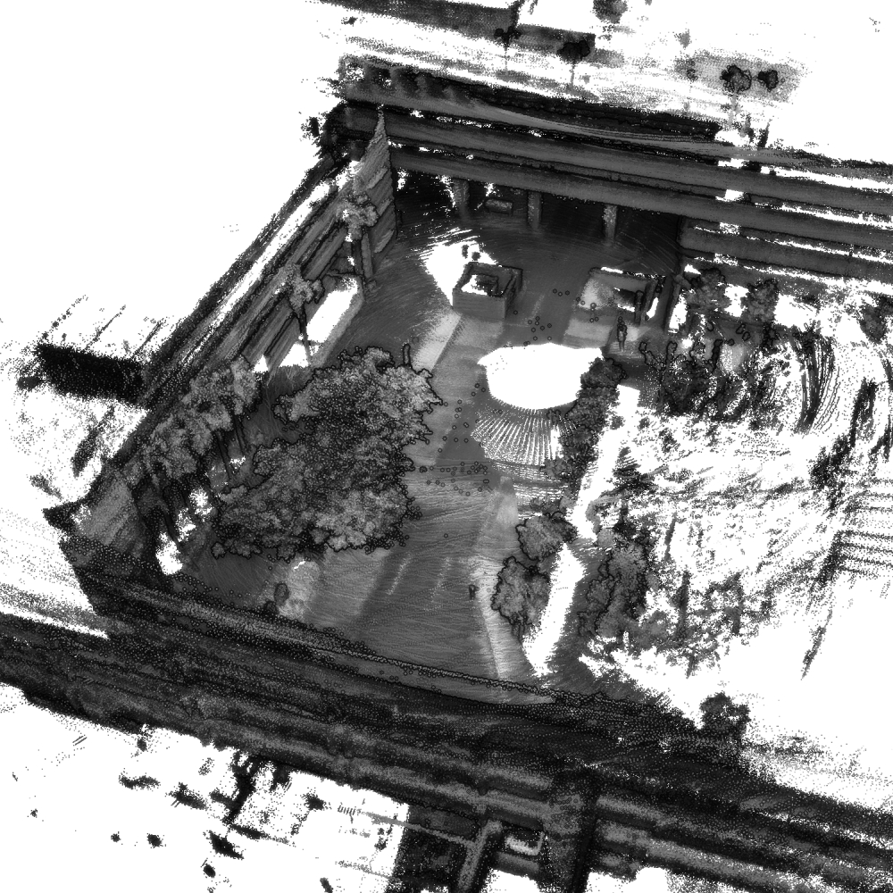
- The UAV itself may cause noise points in the LiDAR scans. They can be removed by discarding all points in a small box around the UAV.
- Using the given poses, some point clouds contain a lot of noise points that may have to be filtered out first, depending on the application.
Detailed Information
| General Information | |
| Name | NTU VIRAL |
| Release Year | 2022 |
| Terms of Use | CC BY-NC 4.0 |
| Access Requirements | None |
| Dataset Size | 88.26 GB | Partial download is possible, i.e. the data is split into several files (e.g., epochs or data types) |
| Documentation | In-depth documentation of acquisition and characteristics of the dataset, e.g., via an explicit dataset paper or a comprehensive multi-page metadata document |
| Code | Yes |
| Applications | Long-term localization and mapping |
| Detailed Applications | Navigation of aerial vehicles in GPS-denied environments |
| Acquisition | |
| Number of Scenes | 6 |
| Number of Epochs per Scene (minimum) | 3 |
| Number of Epochs per Scene (median) | 3 |
| Number of Epochs per Scene (maximum) | 3 |
| General Scene Type | Built |
| Specific Scene Type | University |
| Location | Nanyang Technological University (Singapore) |
| Acquisition Type | Airborne laser scanning |
| Acquisition Device | OUSTER OS1-16 LiDAR |
| Acquisition Platform | DJI M600 Pro hexacopter |
| Scan Interval | Minutes |
| Acquisition Months | Janurary: 0 February: 0 March: 0 April: 0 May: 0 June: 9 July: 0 August: 0 September: 0 October: 0 November: 0 December: 9 |
| Representation | |
| Data Representation | Unstructured, local (e.g., local point clouds or laser scans with poses) |
| Specific Data Representation | Local point clouds |
| File Format/Encoding | ROS bag |
| Raw Data | - |
| Additional Data | IMU |
| Coordinate System | m |
| Quality and Usability | |
| Registration | Not registered |
| Number of Partial Epochs | - |
| Unusable Data Reason | - |
| Splits | No |
| Per-Point Attributes | |
| Intensity/Reflectivity | Yes |
| Color | Yes | Color is not naturally included, but images are available that could be backprojected |
| Semantic Labels | - |
| Instance Labels | No |
| Change Labels | - |
| Statistics | |
| Number of Points per Epoch (minimum) | 33M |
| Number of Points per Epoch (median) | 89M |
| Number of Points per Epoch (maximum) | 197M |
| Avg. Point Spacing (minimum) | 7.9mm |
| Avg. Point Spacing (median) | 1.8cm |
| Avg. Point Spacing (maximum) | 5.3cm |
| Avg. Change Points per Epoch | - |
Paper Reference 1
@article{nguyen2022ntuviral,
    title = {NTU VIRAL: A Visual-Inertial-Ranging-Lidar Dataset, From an Aerial Vehicle Viewpoint},
    author = {Nguyen, Thien-Minh and Yuan, Shenghai and Cao, Muqing and Lyu, Yang and Nguyen, Thien Hoang and Xie, Lihua},
    journal = {The International Journal of Robotics Research},
    volume = {41},
    number = {3},
    pages = {270--280},
    year = {2022},
    publisher = {SAGE Publications Sage UK: London, England},
}
Dataset Reference 1
@data{nguyen2022datasetntuviral,
    author = {Nguyen, Thien-Minh and Yuan, Shenghai and Cao, Muqing and Lyu, Yang and Nguyen, Hoang Thien and Xie, Lihua},
    publisher = {DR-NTU (Data)},
    title = {NTU VIRAL DATASET},
    year = {2021},
    version = {V5},
    doi = {10.21979/N9/X39LEK},
}