Masala Overnight
Notes on the Dataset
- For some timepoints, full scans are provided. While these do not include semantic/instance information, for all timepoints, individual point clouds for segmented objects are provided.
- The objects have a known type but there is not a fixed number of classes into which objects are sorted. The number of different classes can be extracted from the list of all objects by grouping similar objects into one class.
- The point clouds of the third night are not registered to those of the first and second. Additionally, the captured objects and corresponding instance IDs do not necessarily match between these scans. Therefore, we excluded the October data from our computations.
Detailed Information
| General Information | |
| Name | Masala Overnight |
| Release Year | 2024 |
| Terms of Use | CC BY 4.0 |
| Access Requirements | None |
| Dataset Size | 10 GB | Partial download is possible, i.e. the data is split into several files (e.g., epochs or data types) |
| Documentation | In-depth documentation of acquisition and characteristics of the dataset, e.g., via an explicit dataset paper or a comprehensive multi-page metadata document |
| Code | No |
| Applications | Vegetation mapping and monitoring |
| Detailed Applications | Monitor overnight changes of vegetation |
| Acquisition | |
| Number of Scenes | 30 |
| Number of Epochs per Scene (minimum) | 41 |
| Number of Epochs per Scene (median) | 91 |
| Number of Epochs per Scene (maximum) | 91 |
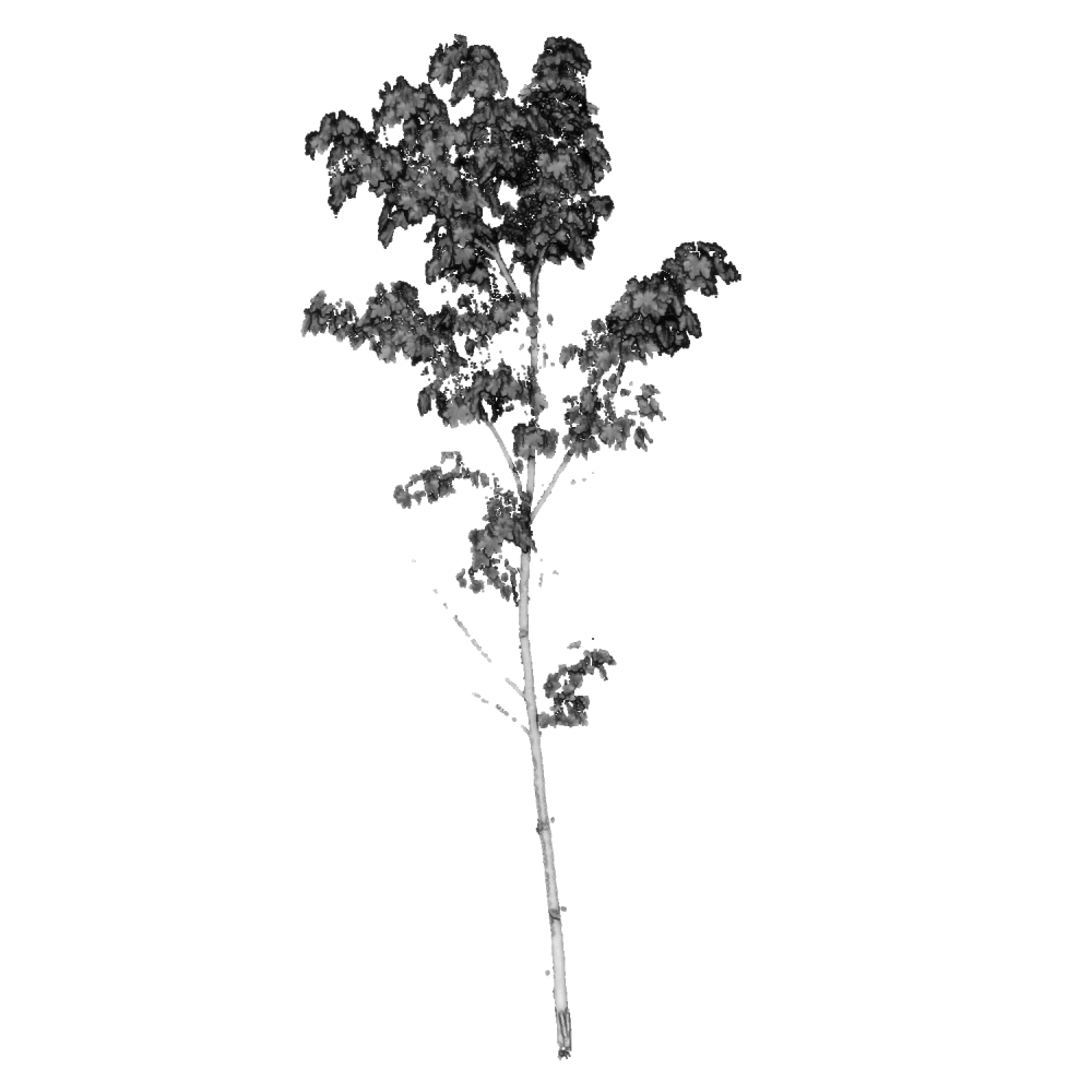
| General Scene Type | Vegetation |
| Specific Scene Type | Plant | reference |
| Location | Masala (Finland) |
| Acquisition Type | Terrestrial laser scanning |
| Acquisition Device | FARO Focus 3D X 330 | FARO Focus 3D S 120 | Trimble TX5 | and Leica Scanstation P40 |
| Acquisition Platform | Tripod |
| Scan Interval | Minutes |
| Acquisition Months | Janurary: 0 February: 0 March: 0 April: 0 May: 0 June: 0 July: 0 August: 2636 September: 0 October: 1008 November: 0 December: 0 |
| Representation | |
| Data Representation | Unstructured, globally aligned (e.g., point cloud or ray cloud) |
| Specific Data Representation | Point cloud |
| File Format/Encoding | LAZ |
| Raw Data | - |
| Additional Data | Scanner positions | full scans |
| Coordinate System | m |
| Quality and Usability | |
| Registration | Between finely and coarsely registered. The reviewers disagreed on this |
| Number of Partial Epochs | 11.63% |
| Unusable Data Reason | - |
| Splits | No |
| Per-Point Attributes | |
| Intensity/Reflectivity | Yes |
| Color | No |
| Semantic Labels | 16 | The labels can be computed from other data/mapped to the point cloud, i.e., it can not trivially be done during point cloud construction |
| Instance Labels | Yes | The labels can be computed from other data/mapped to the point cloud, i.e., it can not trivially be done during point cloud construction |
| Change Labels | - |
| Statistics | |
| Number of Points per Epoch (minimum) | 16 |
| Number of Points per Epoch (median) | 15K |
| Number of Points per Epoch (maximum) | 5M |
| Avg. Point Spacing (minimum) | 1.0mm |
| Avg. Point Spacing (median) | 7.1mm |
| Avg. Point Spacing (maximum) | 5.5cm |
| Avg. Change Points per Epoch | - |
Paper Reference 1
@article{puttonen2019monitoringcircadianrhythm,
    author = {Puttonen, Eetu  and Lehtomäki, Matti  and Litkey, Paula  and Näsi, Roope  and Feng, Ziyi  and Liang, Xinlian  and Wittke, Samantha  and Pandžić, Miloš  and Hakala, Teemu  and Karjalainen, Mika  and Pfeifer, Norbert },
    title = {A Clustering Framework for Monitoring Circadian Rhythm in Structural Dynamics in Plants From Terrestrial Laser Scanning Time Series},
    journal = {Frontiers in Plant Science},
    volume = {10},
    year = {2019},
    doi = {10.3389/fpls.2019.00486},
    issn = {1664-462X},
}
Dataset Reference 1
@misc{puttonen2024datasetmasala,
    author = {Puttonen, Eetu and National Land Survey of Finland and Lehtomäki, Matti and Litkey, Paula and Näsi, Roope and Feng, Ziyi and Liang, Xinlian and Wittke, Samantha and Pandžić, Miloš and Hakala, Teemu and others},
    title = {Three Terrestrial Laser Scanning Point Cloud Time Series Measured Overnight in Finland in August and October 2016},
    doi = {10.23729/1d96a667-767e-485b-ae98-89df1b12ca8e},
    month = {6},
    year = {2024},
    note = {National Land Survey of Finland},
}