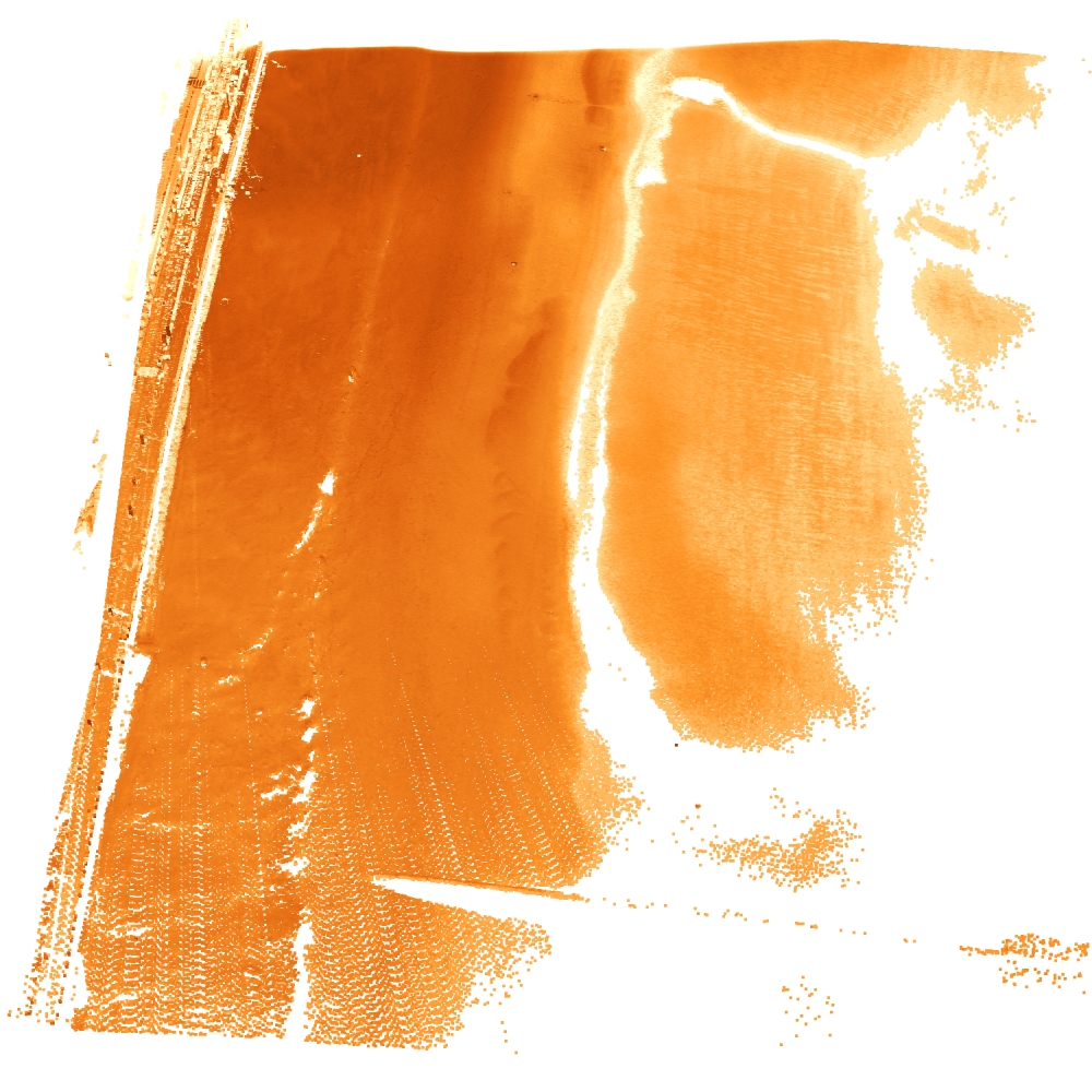
Mariakerke Bad
Notes on the Dataset
- In the full archive download, the archive of July 2018 is corrupted and within the archive of June 2018, there is corrupted LAZ file.
- The file 171227_145945.laz appears to be corrupted.
Detailed Information
| General Information | |
| Name | Mariakerke Bad |
| Release Year | 2024 |
| Terms of Use | CC BY 4.0 |
| Access Requirements | None |
| Dataset Size | 54 GB | Partial download is possible, i.e. the data is split into several files (e.g., epochs or data types) |
| Documentation | In-depth documentation of acquisition and characteristics of the dataset, e.g., via an explicit dataset paper or a comprehensive multi-page metadata document |
| Code | Yes |
| Applications | Analysis of geomorphological processes |
| Detailed Applications | Study sand transportation at urbanized beaches |
| Acquisition | |
| Number of Scenes | 1 |
| Number of Epochs per Scene (minimum) | 8417 |
| Number of Epochs per Scene (median) | 8417 |
| Number of Epochs per Scene (maximum) | 8417 |
| General Scene Type | Landscape |
| Specific Scene Type | Beach |
| Location | Mariakerke Bad (Belgium) |
| Acquisition Type | Terrestrial laser scanning |
| Acquisition Device | RIEGL VZ-2000 |
| Acquisition Platform | Stationary (fixed to wall) |
| Scan Interval | Minutes |
| Acquisition Months | Janurary: 658 February: 663 March: 725 April: 698 May: 273 June: 701 July: 611 August: 747 September: 718 October: 565 November: 1215 December: 843 |
| Representation | |
| Data Representation | Unstructured, globally aligned (e.g., point cloud or ray cloud) |
| Specific Data Representation | Point cloud |
| File Format/Encoding | LAZ |
| Raw Data | - |
| Additional Data | - |
| Coordinate System | 3812 | A local coordinate system is used, but a transformation matrix to a georefenced system is available |
| Quality and Usability | |
| Registration | Finely registered |
| Number of Partial Epochs | - |
| Unusable Data Reason | - |
| Splits | No |
| Per-Point Attributes | |
| Intensity/Reflectivity | Yes |
| Color | No |
| Semantic Labels | - |
| Instance Labels | No |
| Change Labels | - |
| Statistics | |
| Number of Points per Epoch (minimum) | 305K |
| Number of Points per Epoch (median) | 1M |
| Number of Points per Epoch (maximum) | 2M |
| Avg. Point Spacing (minimum) | 7.9cm |
| Avg. Point Spacing (median) | 1.2dm |
| Avg. Point Spacing (maximum) | 1.6dm |
| Avg. Change Points per Epoch | - |
Paper Reference 1
@article{jin2021beachsurfacemoisture,
    title = {Monitoring spatiotemporal variation in beach surface moisture using a long-range terrestrial laser scanner},
    journal = {ISPRS Journal of Photogrammetry and Remote Sensing},
    volume = {173},
    pages = {195--208},
    year = {2021},
    issn = {0924-2716},
    doi = {10.1016/j.isprsjprs.2021.01.011},
    author = {Junling Jin and Jeffrey Verbeurgt and Lars De Sloover and Cornelis Stal and Greet Deruyter and Anne-Lise Montreuil and Sander Vos and Philippe De Maeyer and Alain De Wulf},
}
Dataset Reference 1
@dataset{vos2024datasetmariakerke,
    author = {Vos, Sander and
                  Sloover, Lars de and
                  Lindenbergh, Roderik and
                  De Wulf, Alain},
    title = {A high-resolution 4D geospatial laser scan dataset
                   of the beach at Mariakerke Bad, Belgium},
    year = {2024},
    publisher = {Zenodo with Delft University of Technology and
                   Ghent University},
    version = {Version 2},
    doi = {10.5281/zenodo.10433522},
}