LiPheStream
Notes on the Dataset
- The point clouds are sorted according to their tree species. Since the point clouds are georeferenced, the individual tree point clouds could be merged into a larger point cloud with semantic/instance information derived from the folder structure and point cloud IDs.
- The individual trees were automatically segmented from a full-area scan. Therefore, the segmentation is erroneous in some cases.
- The trees are divided into different scan quality categories. It is not entirely clear what quality in this context means and how it is determined. It seems to have something to do with the segmentation results.
- File 210216_180502_12456_1_2.laz is erroneous and can't be read.
Detailed Information
| General Information | |
| Name | LiPheStream |
| Release Year | 2024 |
| Terms of Use | CC BY 4.0 |
| Access Requirements | None |
| Dataset Size | 1.7 TB | Partial download is possible, i.e. the data is split into several files (e.g., epochs or data types) |
| Documentation | In-depth documentation of acquisition and characteristics of the dataset, e.g., via an explicit dataset paper or a comprehensive multi-page metadata document |
| Code | Yes |
| Applications | Vegetation mapping and monitoring |
| Detailed Applications | Vegetation dynamics monitoring |
| Acquisition | |
| Number of Scenes | 660 |
| Number of Epochs per Scene (minimum) | 11 |
| Number of Epochs per Scene (median) | 92 |
| Number of Epochs per Scene (maximum) | 103 |
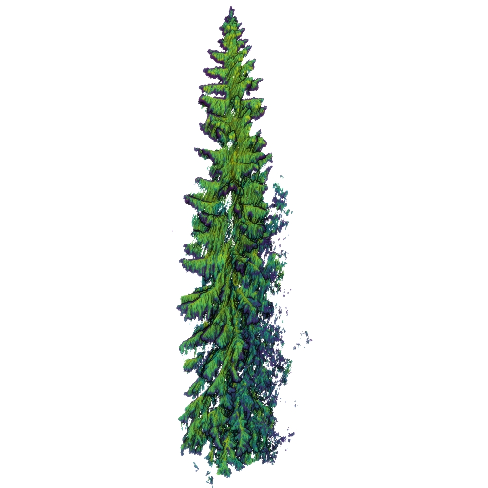
| General Scene Type | Vegetation |
| Specific Scene Type | Tree |
| Location | Hyytiälä Forest Station (Finland) |
| Acquisition Type | Terrestrial laser scanning |
| Acquisition Device | RIEGL VZ-2000i |
| Acquisition Platform | 35m high tower |
| Scan Interval | Hours to Months |
| Acquisition Months | Janurary: 916 February: 4122 March: 2748 April: 5038 May: 5954 June: 5954 July: 5038 August: 6870 September: 3206 October: 3664 November: 2748 December: 916 |
| Representation | |
| Data Representation | Unstructured, globally aligned (e.g., point cloud or ray cloud) |
| Specific Data Representation | Point cloud |
| File Format/Encoding | LAZ |
| Raw Data | - |
| Additional Data | Full area scans | DTM | tree metadata |
| Coordinate System | 3067 |
| Quality and Usability | |
| Registration | Finely registered |
| Number of Partial Epochs | 21.54% |
| Unusable Data Reason | Errorneous |
| Splits | No |
| Per-Point Attributes | |
| Intensity/Reflectivity | Yes |
| Color | No |
| Semantic Labels | 4 | The labels can be computed from other data/mapped to the point cloud, i.e., it can not trivially be done during point cloud construction |
| Instance Labels | Yes | The labels can be computed from other data/mapped to the point cloud, i.e., it can not trivially be done during point cloud construction |
| Change Labels | - |
| Statistics | |
| Number of Points per Epoch (minimum) | 898 |
| Number of Points per Epoch (median) | 1M |
| Number of Points per Epoch (maximum) | 171M |
| Avg. Point Spacing (minimum) | 2.4mm |
| Avg. Point Spacing (median) | 9.0mm |
| Avg. Point Spacing (maximum) | 1.0dm |
| Avg. Change Points per Epoch | - |
Paper Reference 1
@article{campos2021liphestreamsetup,
    author = {Campos, Mariana Batista  and Litkey, Paula  and Wang, Yunsheng  and Chen, Yuwei  and Hyyti, Heikki  and Hyyppä, Juha  and Puttonen, Eetu },
    title = {A Long-Term Terrestrial Laser Scanning Measurement Station to Continuously Monitor Structural and Phenological Dynamics of Boreal Forest Canopy},
    journal = {Frontiers in Plant Science},
    volume = {11},
    year = {2021},
    doi = {10.3389/fpls.2020.606752},
    issn = {1664-462X},
}
Dataset Reference 1
@misc{wittke2024datasetliphestream,
    author = {National Land Survey of Finland and Wittke, Samantha and Campos, Mariana},
    title = {LiPheStream - A 18-month spatiotemporal point cloud time series of Boreal trees from Hyytiälä, Finland},
    doi = {10.23729/cf81f7f3-faaa-4729-aa1c-aa4dd38951aa},
    year = {2024},
    note = {National Land Survey of Finland, FGI Dept. of Remote sensing and photogrammetry},
}