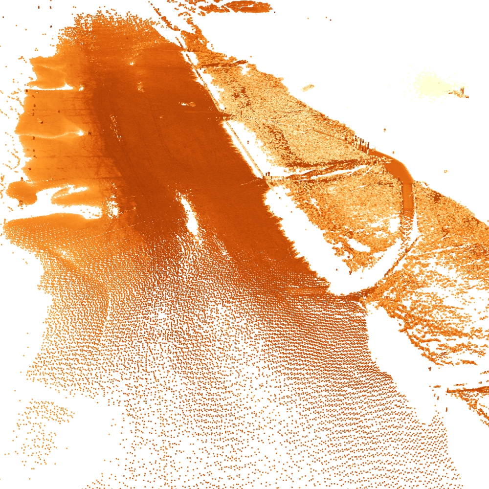
Kijkduin
Notes on the Dataset
- In an earlier paper, a subset of this dataset with denser but only daily point clouds was used and released
Detailed Information
| General Information | |
| Name | Kijkduin |
| Release Year | 2021 |
| Terms of Use | CC BY 4.0 |
| Access Requirements | None |
| Dataset Size | 65.3 GB | Partial download is possible, i.e. the data is split into several files (e.g., epochs or data types) |
| Documentation | In-depth documentation of acquisition and characteristics of the dataset, e.g., via an explicit dataset paper or a comprehensive multi-page metadata document |
| Code | Yes |
| Applications | Analysis of geomorphological processes |
| Detailed Applications | Analysing morphological behaviours of beach-dune systems |
| Acquisition | |
| Number of Scenes | 1 |
| Number of Epochs per Scene (minimum) | 4082 |
| Number of Epochs per Scene (median) | 4082 |
| Number of Epochs per Scene (maximum) | 4082 |
| General Scene Type | Landscape |
| Specific Scene Type | Beach |
| Location | Kijkduin (The Netherlands) |
| Acquisition Type | Terrestrial laser scanning |
| Acquisition Device | RIEGL VZ-2000 |
| Acquisition Platform | Four-legged iron pole |
| Scan Interval | Minutes |
| Acquisition Months | Janurary: 31 February: 27 March: 23 April: 30 May: 26 June: 0 July: 0 August: 0 September: 0 October: 0 November: 0 December: 17 |
| Representation | |
| Data Representation | Unstructured, globally aligned (e.g., point cloud or ray cloud) |
| Specific Data Representation | Point cloud |
| File Format/Encoding | LAZ |
| Raw Data | - |
| Additional Data | Wave/tidal/weather data |
| Coordinate System | 7415 | A local coordinate system is used, but a transformation matrix to a georefenced system is available |
| Quality and Usability | |
| Registration | Finely registered |
| Number of Partial Epochs | - |
| Unusable Data Reason | - |
| Splits | No |
| Per-Point Attributes | |
| Intensity/Reflectivity | Yes |
| Color | No |
| Semantic Labels | - |
| Instance Labels | No |
| Change Labels | - |
| Statistics | |
| Number of Points per Epoch (minimum) | 665K |
| Number of Points per Epoch (median) | 1M |
| Number of Points per Epoch (maximum) | 16M |
| Avg. Point Spacing (minimum) | 2.8cm |
| Avg. Point Spacing (median) | 1.6dm |
| Avg. Point Spacing (maximum) | 2.4dm |
| Avg. Change Points per Epoch | - |
Paper Reference 1
@article{vos2022kijkduin,
    author = {Vos, Sander and Anders, Katharina and Kuschnerus, Mieke and Lindenbergh, Roderik and Höfle, Bernhard and Aarninkhof, Stefan and de Vries, Sierd},
    title = {A high-resolution 4D terrestrial laser scan dataset of the Kijkduin beach-dune system, The Netherlands},
    year = {2022},
    journal = {Scientific Data},
    volume = {9},
    number = {1},
    doi = {10.1038/s41597-022-01291-9},
}
Dataset Reference 1
@misc{vos2021datasetkijkduin,
    author = {Sander Vos and Katharina Anders and Mieke Kuschnerus and Roderik Lindenbergh and Bernhard H\"ofle and Stefan Aarninkhof and Sierd de Vries},
    title = {A six month high resolution 4D geospatial stationary laser scan dataset of the Kijkduin beach dune system, The Netherlands},
    year = {2021},
    doi = {10.1594/PANGAEA.934058},
    type = {dataset},
    publisher = {PANGAEA},
}