Hessigheim3D
Notes on the Dataset
- The point clouds are provided as both text files and LAZ files.
- The first epoch was obtained via aircraft, the subsequent ones via UAV.
- The first epoch has intensity values, the subsequent ones reflectance values.
Detailed Information
| General Information | |
| Name | Hessigheim3D |
| Release Year | 2021 |
| Terms of Use | Unclear |
| Access Requirements | Provide contact info |
| Dataset Size | 59 GB | Partial download is possible, i.e. the data is split into several files (e.g., epochs or data types) |
| Documentation | In-depth documentation of acquisition and characteristics of the dataset, e.g., via an explicit dataset paper or a comprehensive multi-page metadata document |
| Code | No |
| Applications | Built environment change detection and classification |
| Detailed Applications | Point cloud change detection |
| Acquisition | |
| Number of Scenes | 3 | One coherent scene is recorded, but it is split into multiple non-overlapping parts |
| Number of Epochs per Scene (minimum) | 4 |
| Number of Epochs per Scene (median) | 4 |
| Number of Epochs per Scene (maximum) | 4 |
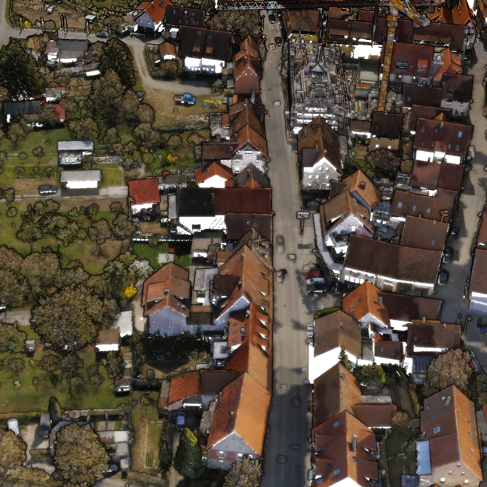
| General Scene Type | Urban |
| Specific Scene Type | Village |
| Location | Hessigheim (Germany) |
| Acquisition Type | Airborne laser scanning |
| Acquisition Device | RIEGL VUX-1LR + Sony Alpha 6000 and RIEGL LMS-Q780 |
| Acquisition Platform | UAV (RIEGL Ricopter) and aircraft |
| Scan Interval | Months to Years |
| Acquisition Months | Janurary: 0 February: 0 March: 3 April: 0 May: 0 June: 0 July: 0 August: 0 September: 0 October: 0 November: 1 December: 0 |
| Representation | |
| Data Representation | Unstructured, globally aligned (e.g., point cloud or ray cloud) |
| Specific Data Representation | Point cloud |
| File Format/Encoding | Textfile, usually delimiter separated values | LAZ |
| Raw Data | - |
| Additional Data | Mesh |
| Coordinate System | 25832 |
| Quality and Usability | |
| Registration | Finely registered |
| Number of Partial Epochs | 33.33% |
| Unusable Data Reason | - |
| Splits | Yes |
| Per-Point Attributes | |
| Intensity/Reflectivity | Yes |
| Color | Yes |
| Semantic Labels | 11 |
| Instance Labels | No |
| Change Labels | - |
| Statistics | |
| Number of Points per Epoch (minimum) | 608K |
| Number of Points per Epoch (median) | 41M |
| Number of Points per Epoch (maximum) | 129M |
| Avg. Point Spacing (minimum) | 2.1cm |
| Avg. Point Spacing (median) | 2.8cm |
| Avg. Point Spacing (maximum) | 1.6dm |
| Avg. Change Points per Epoch | - |
Paper Reference 1
@article{koelle2021datasethessigheim,
    title = {The Hessigheim 3D (H3D) benchmark on semantic segmentation of high-resolution 3D point clouds and textured meshes from UAV LiDAR and Multi-View-Stereo},
    journal = {ISPRS Open Journal of Photogrammetry and Remote Sensing},
    volume = {1},
    pages = {11},
    year = {2021},
    issn = {2667-3932},
    doi = {10.1016/j.ophoto.2021.100001},
    author = {Michael Kölle and Dominik Laupheimer and Stefan Schmohl and Norbert Haala and Franz Rottensteiner and Jan Dirk Wegner and Hugo Ledoux},
}