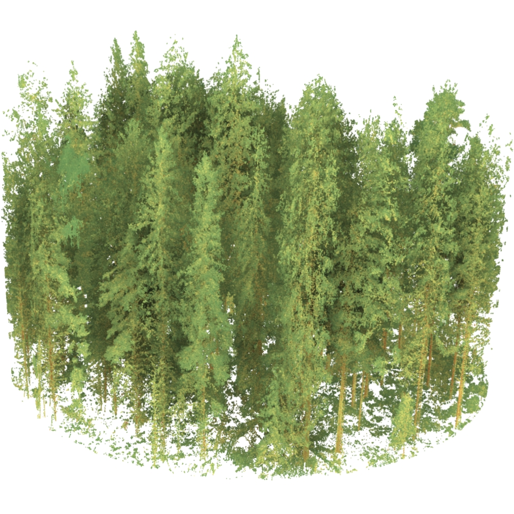
Evo TLS
Notes on the Dataset
- This dataset is an artificial combination of two individual datasets that cover the same area.
- The 2019 epochs all cover a slightly larger area than the corresponding 2014 epochs (quadratic in 2014 vs. circular in 2019).
- In addition to the epochs referenced in the paper, additional epochs for a different number of plots are available as separate datasets.
Detailed Information
| General Information | |
| Name | Evo TLS |
| Release Year | 2021 |
| Terms of Use | CC BY 4.0 |
| Access Requirements | None |
| Dataset Size | 46.3 GB | Partial download is possible, i.e. the data is split into several files (e.g., epochs or data types) |
| Documentation | Multi-paragraph description of the dataset, e.g., in the form of a paper section or a comprehensive readme file |
| Code | No |
| Applications | Vegetation mapping and monitoring |
| Detailed Applications | Analysis of structural forest changes |
| Acquisition | |
| Number of Scenes | 37 |
| Number of Epochs per Scene (minimum) | 2 |
| Number of Epochs per Scene (median) | 2 |
| Number of Epochs per Scene (maximum) | 2 |
| General Scene Type | Vegetation |
| Specific Scene Type | Forest plot |
| Location | Evo (Finland) |
| Acquisition Type | Terrestrial laser scanning |
| Acquisition Device | Leica HDS6100 + Faro Focus 3D X330 and Leica RTC360 3D |
| Acquisition Platform | Tripod (multi-scan) |
| Scan Interval | Years |
| Acquisition Months | Janurary: 0 February: 0 March: 0 April: 0 May: 37 June: 0 July: 0 August: 0 September: 0 October: 0 November: 37 December: 0 |
| Representation | |
| Data Representation | Unstructured, globally aligned (e.g., point cloud or ray cloud) |
| Specific Data Representation | Point cloud |
| File Format/Encoding | LAZ |
| Raw Data | - |
| Additional Data | - |
| Coordinate System | 3067 |
| Quality and Usability | |
| Registration | Finely registered |
| Number of Partial Epochs | - |
| Unusable Data Reason | - |
| Splits | No |
| Per-Point Attributes | |
| Intensity/Reflectivity | Yes |
| Color | No |
| Semantic Labels | - |
| Instance Labels | No |
| Change Labels | - |
| Statistics | |
| Number of Points per Epoch (minimum) | 34M |
| Number of Points per Epoch (median) | 59M |
| Number of Points per Epoch (maximum) | 83M |
| Avg. Point Spacing (minimum) | 4.0mm |
| Avg. Point Spacing (median) | 5.6mm |
| Avg. Point Spacing (maximum) | 6.4mm |
| Avg. Change Points per Epoch | - |
Paper Reference 1
@article{yrttima2020evotls,
    author = {Yrttimaa, Tuomas and Luoma, Ville and Saarinen, Ninni and Kankare, Ville and Junttila, Samuli and Holopainen, Markus and Hyyppä, Juha and Vastaranta, Mikko},
    title = {Structural Changes in Boreal Forests Can Be Quantified Using Terrestrial Laser Scanning},
    journal = {Remote Sensing},
    volume = {12},
    year = {2020},
    number = {17},
    article-number = {2672},
    issn = {2072-4292},
    doi = {10.3390/rs12172672},
}
Dataset Reference 1
@misc{yrttima2020datasetevotls_part1,
    author = {National Land Survey of Finland and University of Helsinki and Vastaranta, Mikko and Luoma, Ville and Kaartinen, Harri and Kukko, Antero and Kankare, Ville},
    title = {Terrestrial laser scanning point clouds from Evo test site, 37 sample plots, spring/summer 2014},
    month = {11},
    year = {2021},
    note = {University of Eastern Finland, Metsätieteiden osasto},
    doi = {10.23729/e417a814-5fde-45fb-9b4e-1a878366f662},
}
Dataset Reference 2
@misc{yrttima2020datasetevotls_part2,
    author = {University of Eastern Finland and National Land Survey of Finland and University of Helsinki and Yrttimaa, Tuomas and Vastaranta, Mikko and Saarinen, Ninni and Kankare, Ville and Luoma, Ville and Hyyppä, Juha and others},
    title = {Terrestrial laser scanning point clouds from Evo test site, 37 sample plots, autumn 2019},
    month = {11},
    year = {2021},
    note = {University of Eastern Finland, Metsätieteiden osasto},
    doi = {10.23729/b6e7c1bc-69a9-401d-aad2-af4b0c062a25},
}