CoastScan Combined
Notes on the Dataset
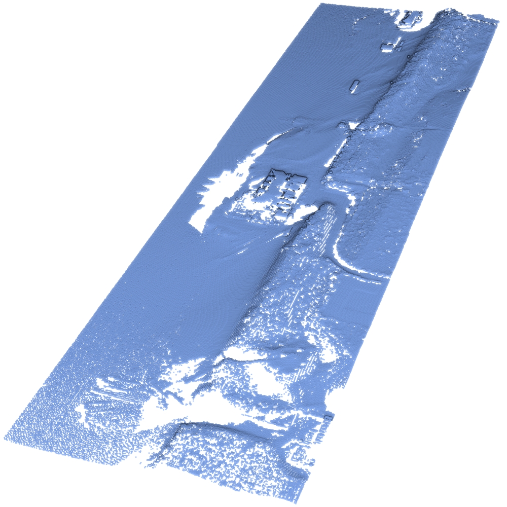
- The dataset comprises ALS and PLS/TLS data. The ALS data covers a larger area than the PLS/TLS data, but within each acquisition type, the covered area remains the same.
- The ALS data's z-coordinate is always the same as the y-coordinate, i.e., it is erroneous.
Detailed Information
| General Information | |
| Name | CoastScan Combined |
| Release Year | 2024 |
| Terms of Use | CC BY 4.0 |
| Access Requirements | None |
| Dataset Size | 169.4 MB | Partial download is possible, i.e. the data is split into several files (e.g., epochs or data types) |
| Documentation | In-depth documentation of acquisition and characteristics of the dataset, e.g., via an explicit dataset paper or a comprehensive multi-page metadata document |
| Code | No |
| Applications | Analysis of geomorphological processes |
| Detailed Applications | Analysing morphological behaviours of urbanized beach-dune systems |
| Acquisition | |
| Number of Scenes | 1 |
| Number of Epochs per Scene (minimum) | 31 |
| Number of Epochs per Scene (median) | 31 |
| Number of Epochs per Scene (maximum) | 31 |
| General Scene Type | Landscape |
| Specific Scene Type | Beach |
| Location | Noordwijk (The Netherlands) |
| Acquisition Type | Terrestrial laser scanning |
| Acquisition Device | Unknown and Leica-P30 + RIEGL VZ-2000 |
| Acquisition Platform | Aircraft and static |
| Scan Interval | Days to Weeks |
| Acquisition Months | Janurary: 2 February: 4 March: 3 April: 5 May: 2 June: 1 July: 2 August: 3 September: 2 October: 3 November: 2 December: 2 |
| Representation | |
| Data Representation | Unstructured, globally aligned (e.g., point cloud or ray cloud) |
| Specific Data Representation | Point cloud |
| File Format/Encoding | Textfile, usually delimiter separated values |
| Raw Data | - |
| Additional Data | Locations of beach pavillion and dune toe/top/heel |
| Coordinate System | 28992 | A local coordinate system is used, but a transformation matrix to a georefenced system is available |
| Quality and Usability | |
| Registration | Finely registered |
| Number of Partial Epochs | - |
| Unusable Data Reason | Errorneous |
| Splits | No |
| Per-Point Attributes | |
| Intensity/Reflectivity | No |
| Color | No |
| Semantic Labels | - |
| Instance Labels | No |
| Change Labels | - |
| Statistics | |
| Number of Points per Epoch (minimum) | 49K |
| Number of Points per Epoch (median) | 154K |
| Number of Points per Epoch (maximum) | 172K |
| Avg. Point Spacing (minimum) | 5.0dm |
| Avg. Point Spacing (median) | 5.0dm |
| Avg. Point Spacing (maximum) | 1.0m |
| Avg. Change Points per Epoch | - |
Paper Reference 1
@article{vos2024dunedevelopment,
    title = {Non-uniform dune development in the presence of standalone beach buildings},
    journal = {Geomorphology},
    volume = {466},
    pages = {109402},
    year = {2024},
    issn = {0169-555X},
    doi = {10.1016/j.geomorph.2024.109402},
    author = {Sander Vos and Christa van IJzendoorn and Roderik Lindenbergh and Alain de Wulf},
}
Dataset Reference 1
@misc{vos2024datasetcoastscancombined,
    doi = {10.4121/05477395-f4fe-46dc-bed9-89da04c073cd.v2},
    author = {Vos, Sander and van IJzendoorn, Christa and Lindenbergh, Roderik and de Wulf, Alain},
    keywords = {Aeolian sediment transport, Urbanized beaches, Dune development & Laser scanning},
    title = {Combined datasets for article Nonuniform Dune Development in the Presence of Standalone Beach Buildings},
    publisher = {4TU.ResearchData},
    year = {2024},
}