ChangeSim
Notes on the Dataset
- RGBD data and poses are available for all runs. However, for the Ref_test sequences, the trajectory.txt files contain more or less entries than there are images available. It is unclear how the poses are to be synced with the image data as no timestamps are provided.
- The depth images contain banding artifacts (probably from quantization - the images have only one 8 bit channel) that make an accurate reconstruction difficult.
- While reconstruction from the depth images seems to be difficult, for the query epochs, point cloud reconstructions are available. For the reference epochs, point clouds can be exported from the RTAB-Map database (using the RTAB-Map database viewer). For this, we used a 20m depth limit and removed duplicate points.
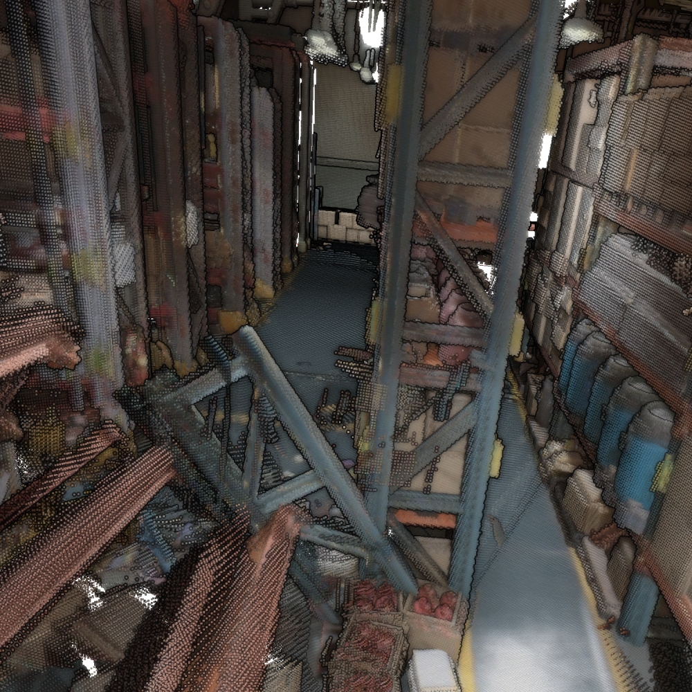
- The dataset can be considered to have 4 epochs per scene - the first and second between which actual changes happen, and the two additional runs for dark and dust, for which only appearance changes happened.
- While the sequence number generally corresponds to the trajectory followed, Query_Seq_0_dark seems to follow another path than the other runs in Seq_0.
Detailed Information
| General Information | |
| Name | ChangeSim |
| Release Year | 2021 |
| Terms of Use | Unclear |
| Access Requirements | None |
| Dataset Size | 167.6 GB | Partial download is possible, i.e. the data is split into several files (e.g., epochs or data types) |
| Documentation | In-depth documentation of acquisition and characteristics of the dataset, e.g., via an explicit dataset paper or a comprehensive multi-page metadata document |
| Code | Yes |
| Applications | Built environment change detection and classification |
| Detailed Applications | Scene change detection in industrial indoor environments |
| Acquisition | |
| Number of Scenes | 10 |
| Number of Epochs per Scene (minimum) | 4 |
| Number of Epochs per Scene (median) | 4 |
| Number of Epochs per Scene (maximum) | 4 |
| General Scene Type | Indoor |
| Specific Scene Type | Warehouse |
| Location | Unclear |
| Acquisition Type | Depth camera mounted on vehicle | Synthetic scan |
| Acquisition Device | Unreal Engine 4 Renderer |
| Acquisition Platform | Simulated (drone) |
| Scan Interval | Undefined |
| Acquisition Months | |
| Representation | |
| Data Representation | Unstructured, globally aligned (e.g., point cloud or ray cloud) | Structured, local (e.g., RGBD or range images with poses (and intrinsics) |
| Specific Data Representation | Point cloud | Color and depth images |
| File Format/Encoding | PLY | rtabmap.db |
| Raw Data | RGBD |
| Additional Data | - |
| Coordinate System | m |
| Quality and Usability | |
| Registration | Coarsely registered |
| Number of Partial Epochs | - |
| Unusable Data Reason | - |
| Splits | Yes |
| Per-Point Attributes | |
| Intensity/Reflectivity | No |
| Color | Yes |
| Semantic Labels | 24 | The labels can be computed from other data/mapped to the point cloud, i.e., it can not trivially be done during point cloud construction |
| Instance Labels | No |
| Change Labels | 5 | The labels can be computed from other data/mapped to the point cloud, i.e., it can not trivially be done during point cloud construction (at least not for all epochs) |
| Statistics | |
| Number of Points per Epoch (minimum) | 299K |
| Number of Points per Epoch (median) | 5M |
| Number of Points per Epoch (maximum) | 545M |
| Avg. Point Spacing (minimum) | 2.7mm |
| Avg. Point Spacing (median) | 1.7cm |
| Avg. Point Spacing (maximum) | 2.5cm |
| Avg. Change Points per Epoch | 8.18% |
Paper Reference 1
@inproceedings{park2021datasetchangesim,
    author = {Jin-Man Park and
                  Jae-Hyuk Jang and
                  Sahng-Min Yoo and
                  Sun-Kyung Lee and
                  Ue-Hwan Kim and
                  Jong-Hwan Kim},
    title = {ChangeSim: Towards End-to-End Online Scene Change Detection in Industrial
                  Indoor Environments},
    booktitle = {IEEE/RSJ International Conference on Intelligent Robots and Systems,
                  IROS},
    pages = {8578--8585},
    year = {2021},
    doi = {10.1109/IROS51168.2021.9636350},
}