Bad Frankenhausen
Notes on the Dataset
- All point clouds are stored in one binary CloudCompare file (together with the M3C2 results).
- While the point clouds contain an intensity attribute, it seems to be just the color value converted to greyscale. As the point clouds are the result of photogrammetric reconstruction, it can't be an actual intensity value as obtained during laser scanning.
- For each epoch, one point cloud reconstructed from terrestrial photos and one from aerial photos is available.
- While the name of epoch 2017_erdfall_terr_new_august_with_pm seems to suggest that it was obtained in August, the paper states that the 2017 point clouds were obtained in March, which the image timestamps seem to confirm.
Detailed Information
| General Information | |
| Name | Bad Frankenhausen |
| Release Year | 2022 |
| Terms of Use | CC BY 4.0 |
| Access Requirements | None |
| Dataset Size | 14.5 GB | Partial download is possible, i.e. the data is split into several files (e.g., epochs or data types) |
| Documentation | Between extensive (multi-page document) and medium-length (multi-paragraph) description. The reviewers disagreed on this |
| Code | No |
| Applications | Analysis of geomorphological processes |
| Detailed Applications | Comparison of terrestrial and airborne photogrammetry for sinkhole change detection |
| Acquisition | |
| Number of Scenes | 1 |
| Number of Epochs per Scene (minimum) | 3 |
| Number of Epochs per Scene (median) | 3 |
| Number of Epochs per Scene (maximum) | 3 |
| General Scene Type | Landscape |
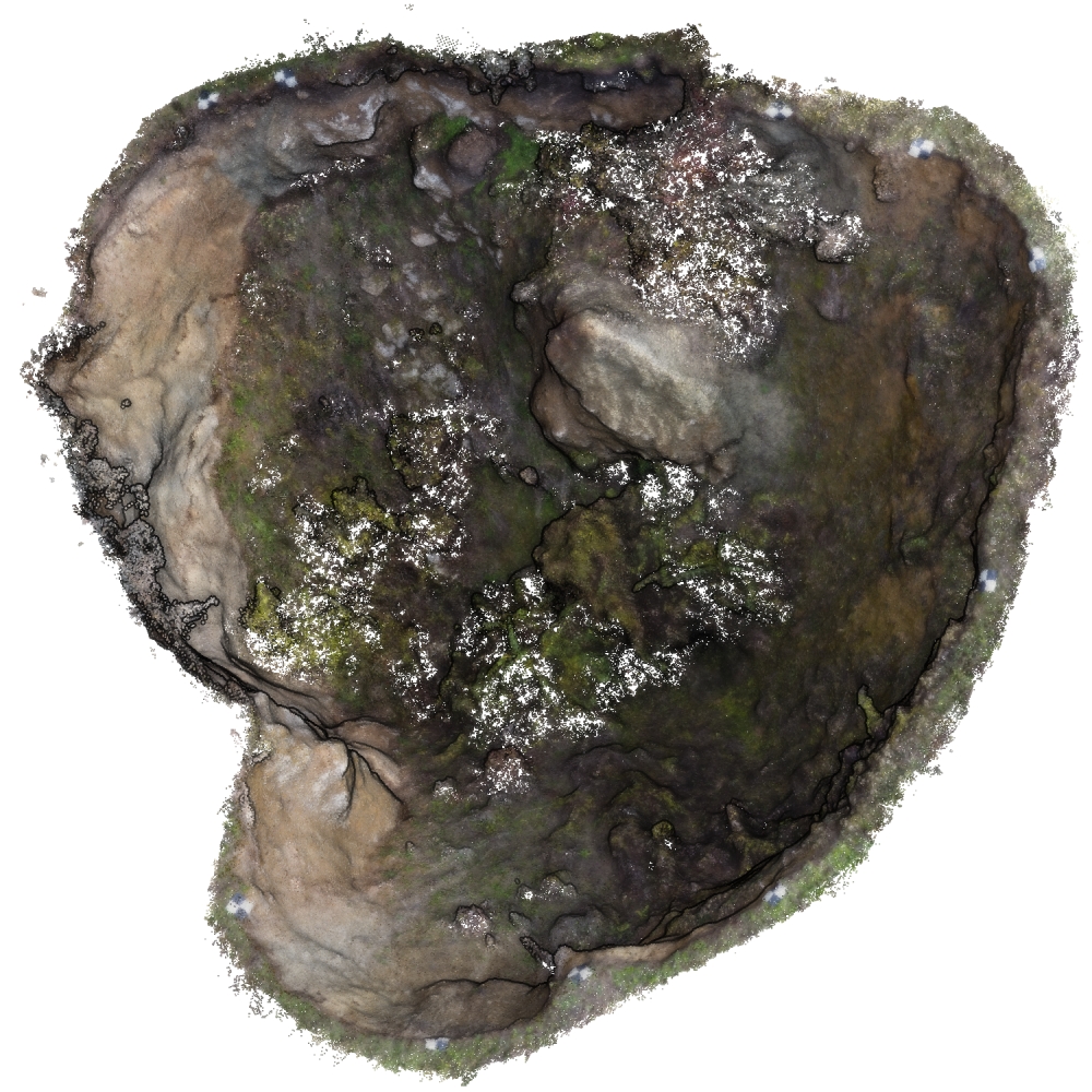
| Specific Scene Type | Sinkhole |
| Location | Bad Frankenhausen (Germany) |
| Acquisition Type | Photogrammetric from aerial images | Photogrammetric from gound-level images |
| Acquisition Device | Nikon D3000 DSLR and DJI FC330 + Agisoft Metashape |
| Acquisition Platform | Handheld and DJI Phantom 4 Pro UAV |
| Scan Interval | Years |
| Acquisition Months | Janurary: 0 February: 0 March: 2 April: 0 May: 0 June: 0 July: 0 August: 0 September: 0 October: 0 November: 4 December: 0 |
| Representation | |
| Data Representation | Unstructured, globally aligned (e.g., point cloud or ray cloud) |
| Specific Data Representation | Point cloud |
| File Format/Encoding | Binary |
| Raw Data | RGB |
| Additional Data | Ground control points |
| Coordinate System | 25832 |
| Quality and Usability | |
| Registration | Finely registered |
| Number of Partial Epochs | - |
| Unusable Data Reason | - |
| Splits | No |
| Per-Point Attributes | |
| Intensity/Reflectivity | No |
| Color | Yes |
| Semantic Labels | - |
| Instance Labels | No |
| Change Labels | - |
| Statistics | |
| Number of Points per Epoch (minimum) | 2M |
| Number of Points per Epoch (median) | 3M |
| Number of Points per Epoch (maximum) | 9M |
| Avg. Point Spacing (minimum) | 7.5mm |
| Avg. Point Spacing (median) | 1.3cm |
| Avg. Point Spacing (maximum) | 1.4cm |
| Avg. Change Points per Epoch | - |
Paper Reference 1
@article{petschko2022sinkholechangedetection,
    author = {Petschko, Helene and Zehner, Markus and Fischer, Patrick and Goetz, Jason},
    title = {Terrestrial and Airborne Structure from Motion Photogrammetry Applied for Change Detection within a Sinkhole in Thuringia, Germany},
    journal = {Remote Sensing},
    volume = {14},
    year = {2022},
    number = {13},
    article-number = {3058},
    issn = {2072-4292},
    doi = {10.3390/rs14133058},
}
Dataset Reference 1
@dataset{petschko2022datasetbadfrankenhausen,
    author = {Helene Petschko and
                  Jason Goetz and
                  Markus Zehner},
    title = {Terrestrial and aerial photos, GCPs and derived
                   point clouds of a sinkhole in Northern Thuringia
                  },
    year = {2022},
    publisher = {Zenodo},
    doi = {10.5281/zenodo.6521706},
}