BLT
Notes on the Dataset
- For the KG scene, ROS bags with synchronized sensor outputs are available alongside the raw data.
- Poses are provided only for the KG scene, while for the Riseholme scene only odometry and IMU data is available. To reconstruct a unified point cloud from this data, a SLAM solution has to be used. However, as argued in the paper, we only used the KG scene for our computations.
- For the KG scene, the paper and website list 11 epochs. However, the website also states that there are only 10 epochs. We found that the synchronized ROS bag for May 18th (`kg_may_18.bag`) is corrupted and reindexing it (using `rosbag reindex`) discards most of its data. Additionally, this is the only date for which raw data is not available. Therefore, there are ultimatively 10 usable epochs.
- In the downloadable files, `june_22` is missing from the synchronized ROS bags and `kg_september_09.bag` appears to be corrupted. For these dates, we used the raw data for our computations.
- A person walking behind the robot causes noise in the final point cloud if not removed.
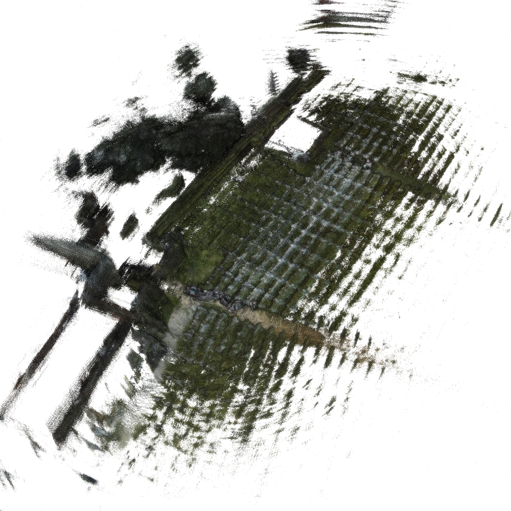
- Mapping the color images to the laser scans often results in the tip of the vines receiving the color of the sky.
Detailed Information
| General Information | |
| Name | BLT |
| Release Year | 2024 |
| Terms of Use | Unclear |
| Access Requirements | Provide contact info |
| Dataset Size | 1.39 TB | Partial download is possible, i.e. the data is split into several files (e.g., epochs or data types) |
| Documentation | In-depth documentation of acquisition and characteristics of the dataset, e.g., via an explicit dataset paper or a comprehensive multi-page metadata document |
| Code | No |
| Applications | Long-term localization and mapping |
| Detailed Applications | Long-term autonomy | mapping | and localization |
| Acquisition | |
| Number of Scenes | 2 |
| Number of Epochs per Scene (minimum) | 5 |
| Number of Epochs per Scene (median) | - |
| Number of Epochs per Scene (maximum) | 10 |
| General Scene Type | Agriculture |
| Specific Scene Type | Vineyard |
| Location | Ktima Gerovassiliou (Greece) / Riseholme (UK) |
| Acquisition Type | Mobile laser scanning | Depth camera mounted on vehicle |
| Acquisition Device | OUSTER OS1-16 LiDAR |
| Acquisition Platform | SAGA Robotics Thorvald II |
| Scan Interval | Weeks |
| Acquisition Months | Janurary: 0 February: 0 March: 1 April: 2 May: 1 June: 4 July: 1 August: 0 September: 1 October: 0 November: 0 December: 0 |
| Representation | |
| Data Representation | Unstructured, local (e.g., local point clouds or laser scans with poses) |
| Specific Data Representation | Local point clouds |
| File Format/Encoding | ROS bag |
| Raw Data | - |
| Additional Data | 2D LiDAR | RGBD |
| Coordinate System | GPS data is available but, the poses themselves are local with meters as unit |
| Quality and Usability | |
| Registration | Not registered |
| Number of Partial Epochs | - |
| Unusable Data Reason | Errorneous | Other (e.g., no poses for alignment available or in proprietary format) |
| Splits | No |
| Per-Point Attributes | |
| Intensity/Reflectivity | Yes |
| Color | Yes | Color is not naturally included, but images are available that could be backprojected | Only some of the scans are colored |
| Semantic Labels | - |
| Instance Labels | No |
| Change Labels | - |
| Statistics | |
| Number of Points per Epoch (minimum) | 47M |
| Number of Points per Epoch (median) | 248M |
| Number of Points per Epoch (maximum) | 337M |
| Avg. Point Spacing (minimum) | 6.8mm |
| Avg. Point Spacing (median) | 7.7mm |
| Avg. Point Spacing (maximum) | 1.1cm |
| Avg. Change Points per Epoch | - |
Paper Reference 1
@article{polvara2024datasetbacchus,
    author = {Polvara, Riccardo and Molina, Sergi and Hroob, Ibrahim and Papadimitriou, Alexios and Tsiolis, Konstantinos and Giakoumis, Dimitrios and Likothanassis, Spiridon and Tzovaras, Dimitrios and Cielniak, Grzegorz and Hanheide, Marc},
    title = {Bacchus Long-Term (BLT) data set: Acquisition of the agricultural multimodal BLT data set with automated robot deployment},
    journal = {Journal of Field Robotics},
    volume = {41},
    number = {7},
    pages = {2280--2298},
    doi = {10.1002/rob.22228},
    year = {2024},
}