AHK 2
Notes on the Dataset
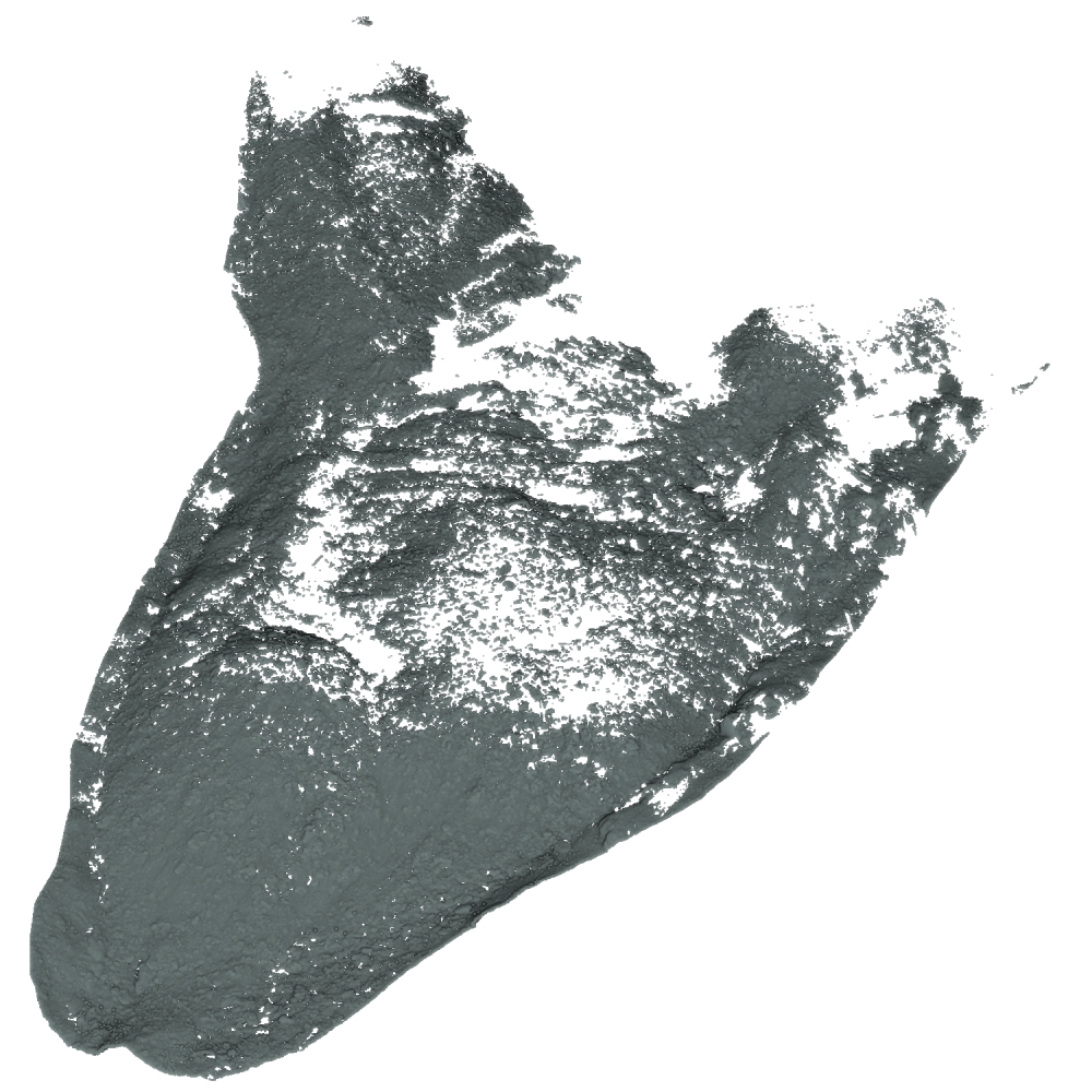
- The area is split into 10 non-overlapping tiles.
Detailed Information
| General Information | |
| Name | AHK 2 |
| Release Year | 2022 |
| Terms of Use | CC BY 4.0 |
| Access Requirements | Agree to terms of use | Provide contact info |
| Dataset Size | 43.3 GB | Partial download is possible, i.e. the data is split into several files (e.g., epochs or data types) |
| Documentation | Multi-paragraph description of the dataset, e.g., in the form of a paper section or a comprehensive readme file |
| Code | Yes |
| Applications | Analysis of geomorphological processes |
| Detailed Applications | Quantification of topographic change |
| Acquisition | |
| Number of Scenes | 10 | One coherent scene is recorded, but it is split into multiple non-overlapping parts |
| Number of Epochs per Scene (minimum) | 6 |
| Number of Epochs per Scene (median) | 6 |
| Number of Epochs per Scene (maximum) | 6 |
| General Scene Type | Landscape |
| Specific Scene Type | Rock glacier |
| Location | Äußeres Hochebenkar (Austria) |
| Acquisition Type | Terrestrial laser scanning |
| Acquisition Device | RIEGL VZ-2000i |
| Acquisition Platform | Tripod | Educated guess by the authors |
| Scan Interval | Days |
| Acquisition Months | Janurary: 0 February: 0 March: 0 April: 0 May: 0 June: 1 July: 2 August: 3 September: 0 October: 0 November: 0 December: 0 |
| Representation | |
| Data Representation | Unstructured, globally aligned (e.g., point cloud or ray cloud) |
| Specific Data Representation | Point cloud |
| File Format/Encoding | Textfile, usually delimiter separated values |
| Raw Data | - |
| Additional Data | Scanner positions |
| Coordinate System | 25832 |
| Quality and Usability | |
| Registration | Between finely and coarsely registered. The reviewers disagreed on this |
| Number of Partial Epochs | - |
| Unusable Data Reason | - |
| Splits | No |
| Per-Point Attributes | |
| Intensity/Reflectivity | No |
| Color | No |
| Semantic Labels | - |
| Instance Labels | No |
| Change Labels | - |
| Statistics | |
| Number of Points per Epoch (minimum) | 18K |
| Number of Points per Epoch (median) | 13M |
| Number of Points per Epoch (maximum) | 72M |
| Avg. Point Spacing (minimum) | 3.6mm |
| Avg. Point Spacing (median) | 9.3mm |
| Avg. Point Spacing (maximum) | 7.6cm |
| Avg. Change Points per Epoch | - |
Paper Reference 1
@article{zahs2022datasetplanebasedm3c2,
    title = {Correspondence-driven plane-based M3C2 for lower uncertainty in 3D topographic change quantification},
    journal = {ISPRS Journal of Photogrammetry and Remote Sensing},
    volume = {183},
    pages = {541--559},
    year = {2022},
    issn = {0924-2716},
    doi = {10.1016/j.isprsjprs.2021.11.018},
    author = {Vivien Zahs and Lukas Winiwarter and Katharina Anders and Jack G. Williams and Martin Rutzinger and Bernhard Höfle},
}