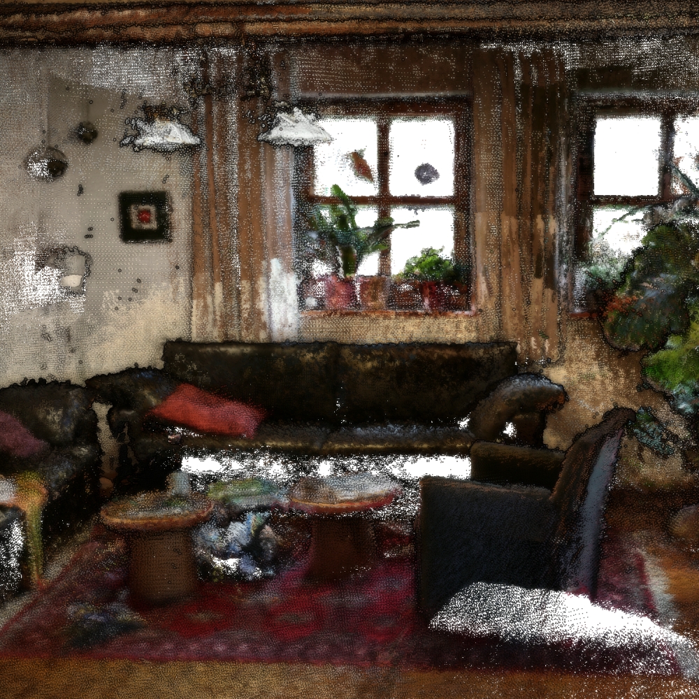
3RScan

Notes on the Dataset
- Some scans have no rescans, alignment data, or labels. Others are very small due to upload or processing issues during acquisition.
- The scans were labeled using crowdsourcing, which led to some annotations being erroneous or inconsistent (e.g., a backpack being an individual object in one scan and considered as part of the bed it lies next to in another one).
- The semantic annotations are only available for the training and validation split and only in the form of mesh annotations. If an annotated point clouds should be constructed, either the mesh has to be sampled, or for each RGBD frame, the mesh's instance labels have to be rendered from the given camera pose and subsequently combined with the result of backprojecting the RGBD frame.
- The scenes are not oriented consistently - sometimes the y-axis points upwards, in other cases the z-axis.
Detailed Information
| General Information | |
| Name | 3RScan |
| Release Year | 2019 |
| Terms of Use | CC BY-NC-SA 4.0 |
| Access Requirements | Agree to terms of use | Provide contact info |
| Dataset Size | 94 GB | Partial download is possible, i.e. the data is split into several files (e.g., epochs or data types) |
| Documentation | In-depth documentation of acquisition and characteristics of the dataset, e.g., via an explicit dataset paper or a comprehensive multi-page metadata document |
| Code | Yes |
| Applications | Long-term localization and mapping | Built environment change detection and classification | Dynamic object detection, localization, and modelling |
| Detailed Applications | Long-term SLAM | change detection | object instance re-localization |
| Acquisition | |
| Number of Scenes | 432 |
| Number of Epochs per Scene (minimum) | 2 |
| Number of Epochs per Scene (median) | 3 |
| Number of Epochs per Scene (maximum) | 12 |
| General Scene Type | Indoor |
| Specific Scene Type | Single room |
| Location | Unclear |
| Acquisition Type | Depth camera mounted on vehicle |
| Acquisition Device | (Unspecified) integrated RGB-D Cameras |
| Acquisition Platform | Mobile devices |
| Scan Interval | Minutes to Months |
| Acquisition Months | |
| Representation | |
| Data Representation | Structured, local (e.g., RGBD or range images with poses (and intrinsics) |
| Specific Data Representation | Color and depth images |
| File Format/Encoding | JPG | PGM |
| Raw Data | - |
| Additional Data | Mesh |
| Coordinate System | m |
| Quality and Usability | |
| Registration | Coarsely registered |
| Number of Partial Epochs | 32.78% |
| Unusable Data Reason | Not multi-temporal | Small (less than ten points) |
| Splits | Yes |
| Per-Point Attributes | |
| Intensity/Reflectivity | No |
| Color | Yes |
| Semantic Labels | 528 | The labels can be computed from other data/mapped to the point cloud, i.e., it can not trivially be done during point cloud construction |
| Instance Labels | Yes | The labels can be computed from other data/mapped to the point cloud, i.e., it can not trivially be done during point cloud construction |
| Change Labels | 4 |
| Statistics | |
| Number of Points per Epoch (minimum) | 59K |
| Number of Points per Epoch (median) | 15M |
| Number of Points per Epoch (maximum) | 188M |
| Avg. Point Spacing (minimum) | 1.4mm |
| Avg. Point Spacing (median) | 3.5mm |
| Avg. Point Spacing (maximum) | 1.4cm |
| Avg. Change Points per Epoch | 10.25% |
Paper Reference 1
@inproceedings{wald2019dataset3rscan,
    author = {Johanna Wald and
                  Armen Avetisyan and
                  Nassir Navab and
                  Federico Tombari and
                  Matthias Nießner},
    title = {RIO: 3D Object Instance Re-Localization in Changing Indoor Environments},
    booktitle = {IEEE/CVF International Conference on Computer Vision, ICCV},
    pages = {7657--7666},
    year = {2019},
    doi = {10.1109/ICCV.2019.00775},
}